| Filename | Brittain_MAPH_6_2018-08-01_1 |
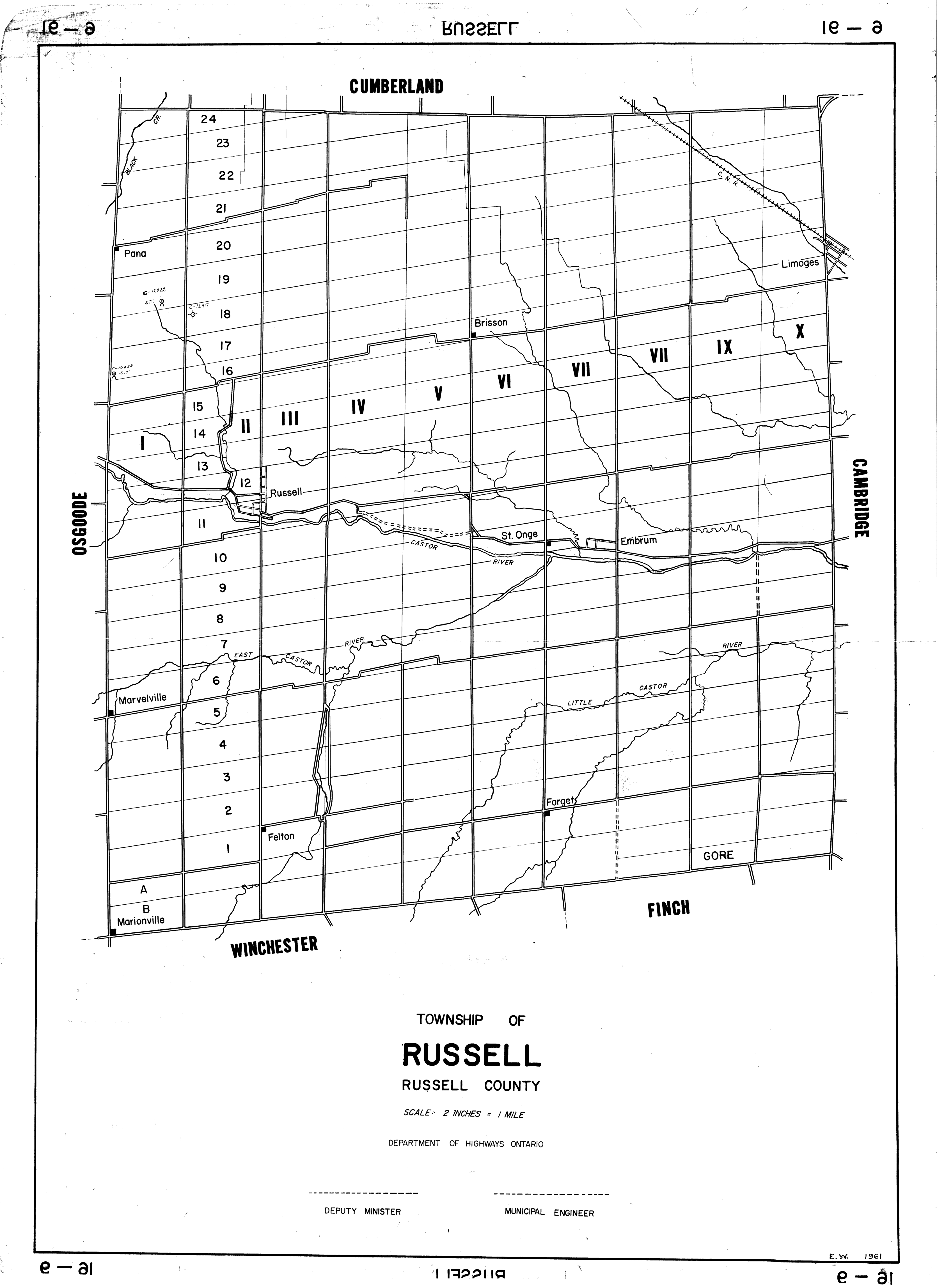
| Map Title | Township of Russell, Russell County |
| Front/Back | Front |
| Blank | No |
| Physical Location | MAPH |
| Cartographer | Department of Highways Ontario |
| Publisher | Department of Highways Ontario |
| Date | 1961-01-01 |
| Copyright Holder | Government |
| Map Type | Resource |
| Continent | North America |
| Country | Canada |
| State | Ontario |
| County | Russell |
| Township | Russell |
| Municipality | |
| Lat Ne | 45.35576 |
| Long Ne | -75.268381 |
| Lat Sw | 45.183778 |
| Long Sw | -75.350175 |
| Map Scale Text | 2 inches: 1 mile |
| Map Scale Ratio | 1:31,680 |
| Quality Score | 2 |
| Documentation Score | 2 |
| Georeference Algorithm | |
| Well Points | Yes |
| Notes | A map of Russell Township with several well points in the upper left corner. |