| Filename | Brittain_MAPH_61_2018-08-02_1 |
| Map Title | Location of Wells in Silurian/Older Rocks in Southwestern Ontario |
| Front/Back | Front |
| Blank | No |
| Physical Location | MAPH |
| Cartographer | Geological Survey of Canada |
| Publisher | Department of Mines and Technical Surveys |
| Date | 2018-12-31 |
| Copyright Holder | Government |
| Map Type | Thematic |
| Continent | North America |
| Country | Canada |
| State | Ontario |
| County | |
| Township | |
| Municipality | |
| Lat Ne | 44.806025 |
| Long Ne | -77.304839 |
| Lat Sw | 41.82042 |
| Long Sw | -83.341879 |
| Map Scale Text | 1 inch: 1 mile |
| Map Scale Ratio | 1:63,360 |
| Quality Score | 2 |
| Documentation Score | 2 |
| Georeference Algorithm | |
| Well Points | No |
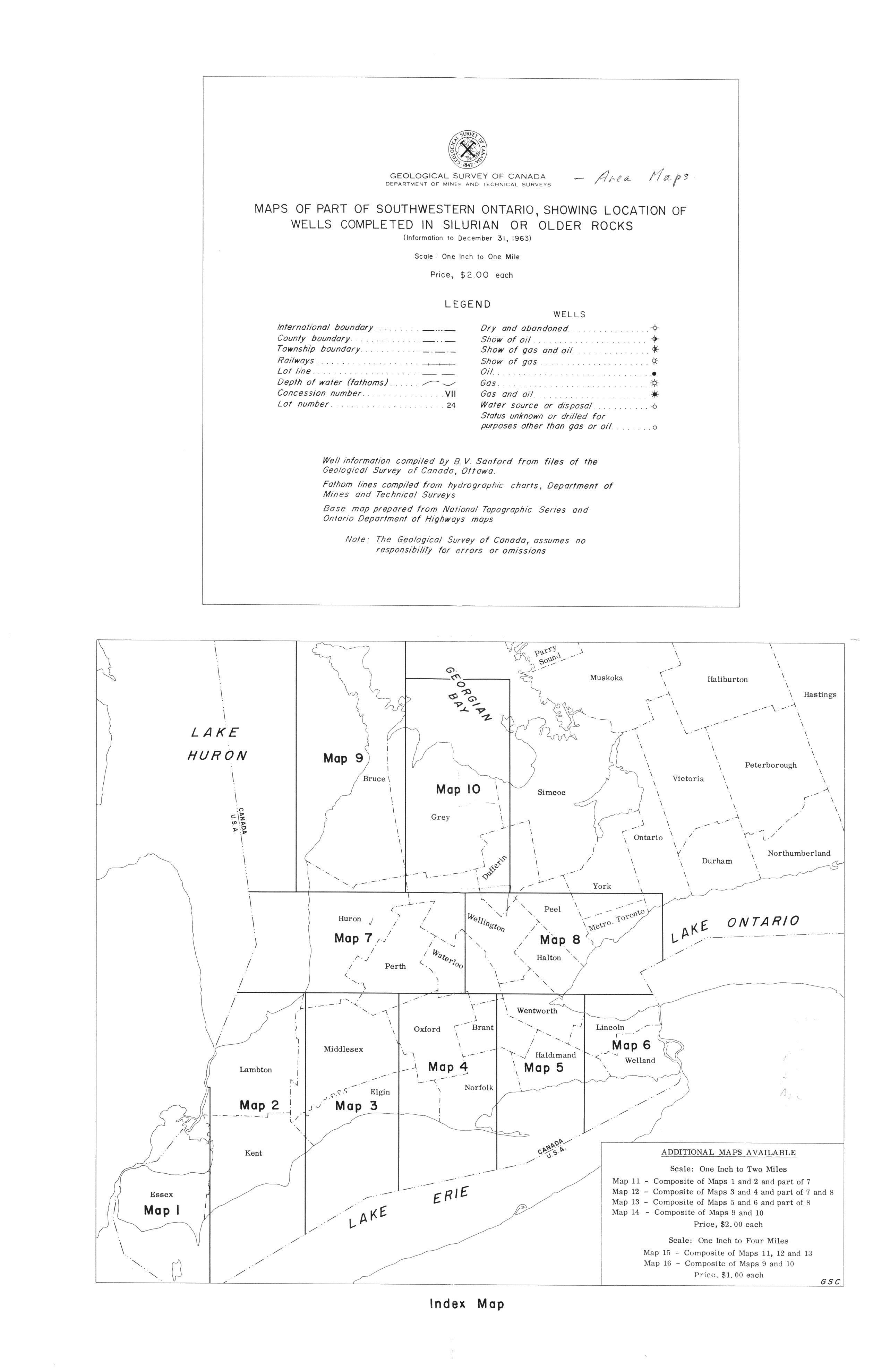
| Notes | A map of a map showing portions of southwestern Ontario broken down into areas. |