| Filename | Brittain_MAPH_45_2018-08-02_1 |
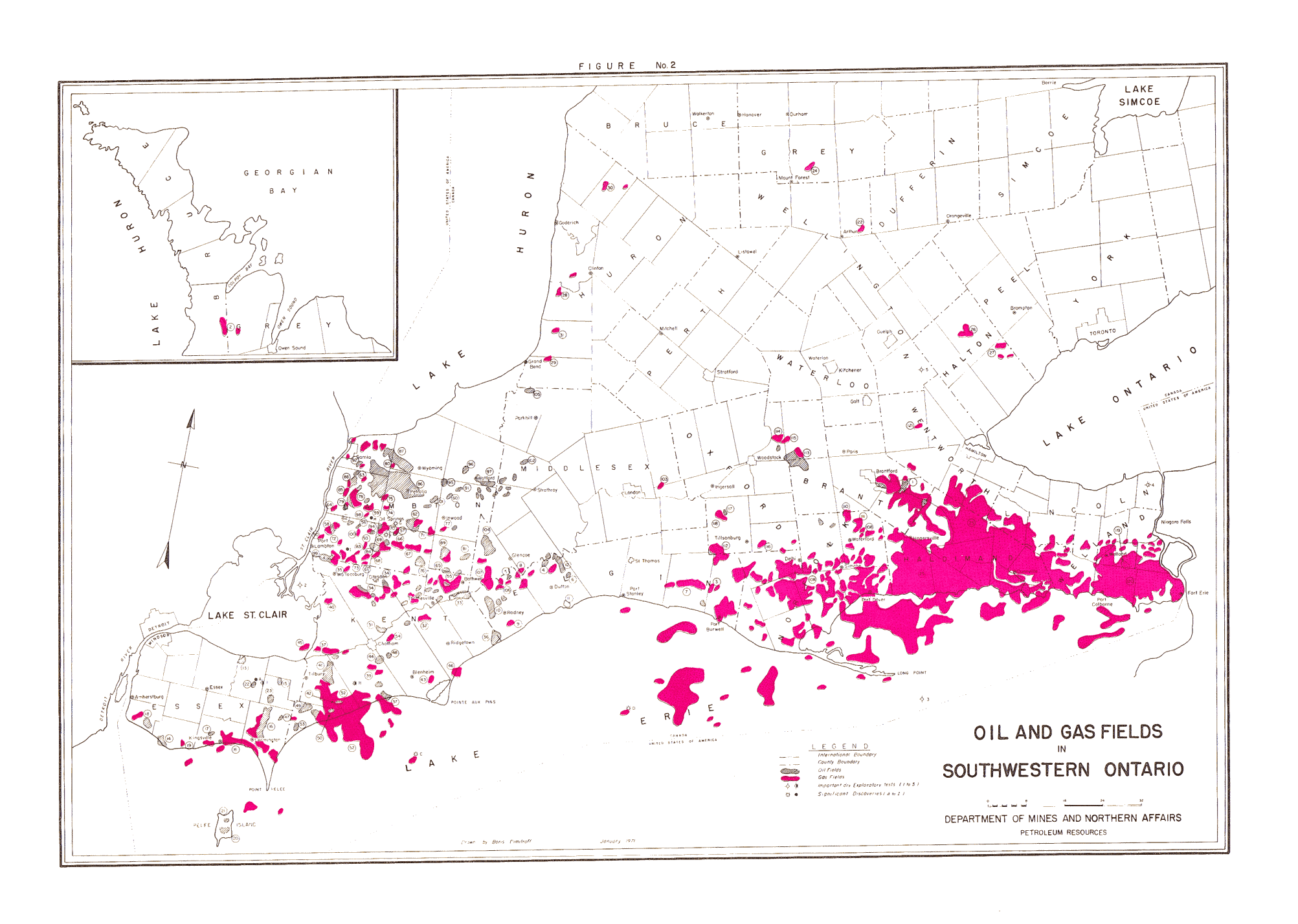
| Map Title | Oil and Gas Fields in Southwestern Ontario |
| Front/Back | Front |
| Blank | No |
| Physical Location | MAPH |
| Cartographer | Boris Dimitroff |
| Publisher | Department of Mines and Northern Affairs |
| Date | 1971-01-01 |
| Copyright Holder | Government |
| Map Type | Resource |
| Continent | North America |
| Country | Canada |
| State | Ontario |
| County | |
| Township | |
| Municipality | |
| Lat Ne | 44.081899 |
| Long Ne | -79.076682 |
| Lat Sw | 41.68182 |
| Long Sw | -83.338749 |
| Map Scale Text | 1 inch: 8 miles |
| Map Scale Ratio | 1:506,880 |
| Quality Score | 2 |
| Documentation Score | 2 |
| Georeference Algorithm | |
| Well Points | Yes |
| Notes | A coloured map showing Oil and Gas Fields in Southern Ontario. |