| Filename | Brittain_MAPH_32_2018-08-01_1 |
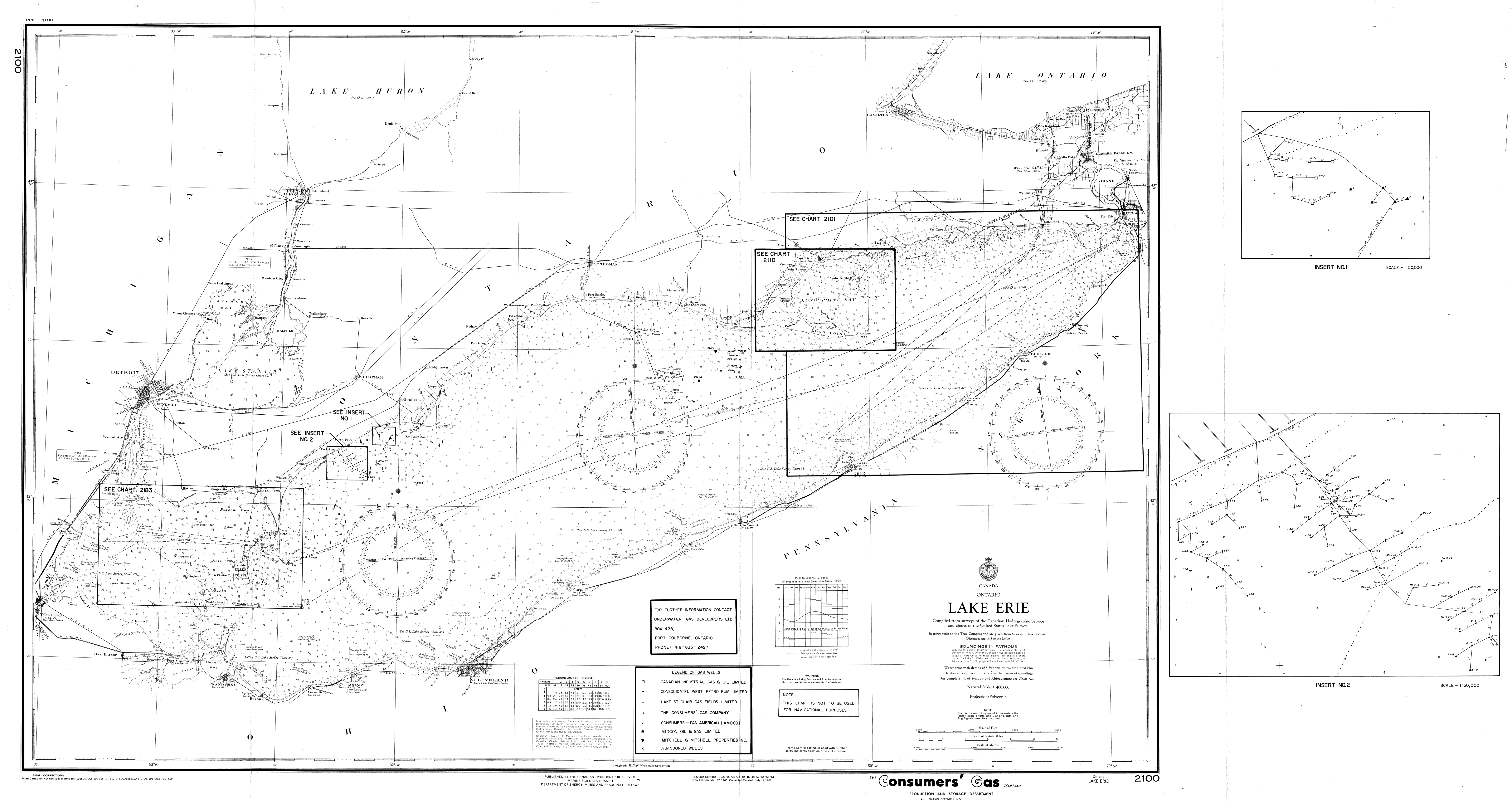
| Map Title | Lake Erie - Wells, Pipes and Nautical Paths |
| Front/Back | Front |
| Blank | No |
| Physical Location | MAPH |
| Cartographer | Canadian Hydrographic Service Marine Sciences Branch |
| Publisher | Department of Energy, Mines and Resources |
| Date | 1970-12-01 |
| Copyright Holder | Private |
| Map Type | Resource |
| Continent | North America |
| Country | Canada |
| State | |
| County | |
| Township | |
| Municipality | |
| Lat Ne | 43.484915 |
| Long Ne | -78.843673 |
| Lat Sw | 41.379764 |
| Long Sw | -83.463659 |
| Map Scale Text | 1:400,000 |
| Map Scale Ratio | 1:400,000 |
| Quality Score | 2 |
| Documentation Score | 2 |
| Georeference Algorithm | |
| Well Points | No |
| Notes | A map of Lake Erie with a series of inserts showing locations of wells, pipes and nautical paths. |