| Filename | Brittain_MAPH_33_2018-08-01_1 |
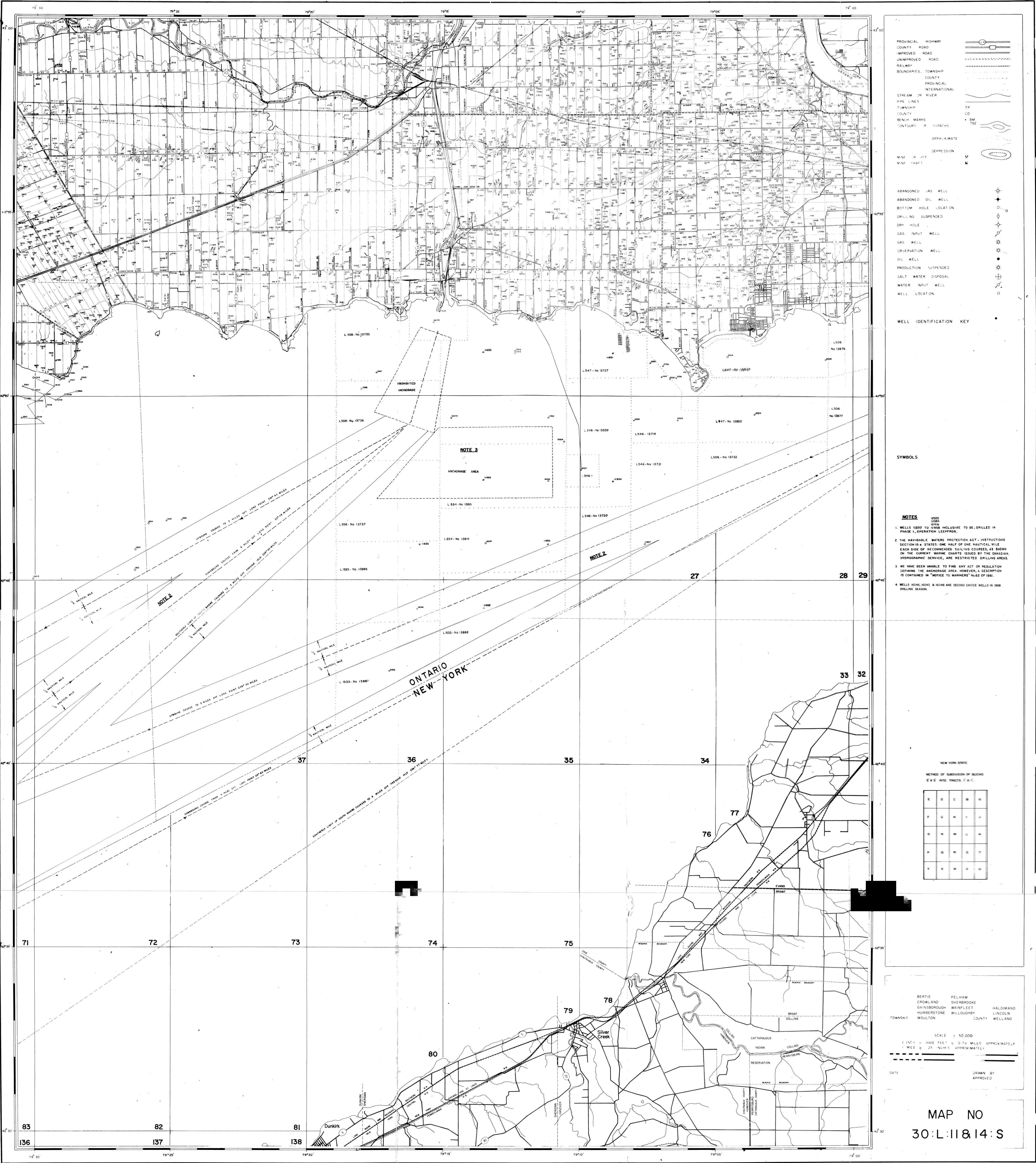
| Map Title | Map No 30:L:II & 14:S - Lake Erie Wells |
| Front/Back | Front |
| Blank | No |
| Physical Location | MAPH |
| Cartographer | |
| Publisher | |
| Date | |
| Copyright Holder | |
| Map Type | Resource |
| Continent | North America |
| Country | Canada |
| State | |
| County | |
| Township | |
| Municipality | |
| Lat Ne | 42.994586 |
| Long Ne | -78.987332 |
| Lat Sw | 42.489322 |
| Long Sw | -79.484479 |
| Map Scale Text | 1:50,000 |
| Map Scale Ratio | 1:50,000 |
| Quality Score | 2 |
| Documentation Score | 2 |
| Georeference Algorithm | |
| Well Points | Yes |
| Notes | A map showing well locations on Lake Erie, with some portions of Canada and the United States. |