|
Filename
|
Brittain_MAPH_30_2018-08-01_1 |
|
Map Title |
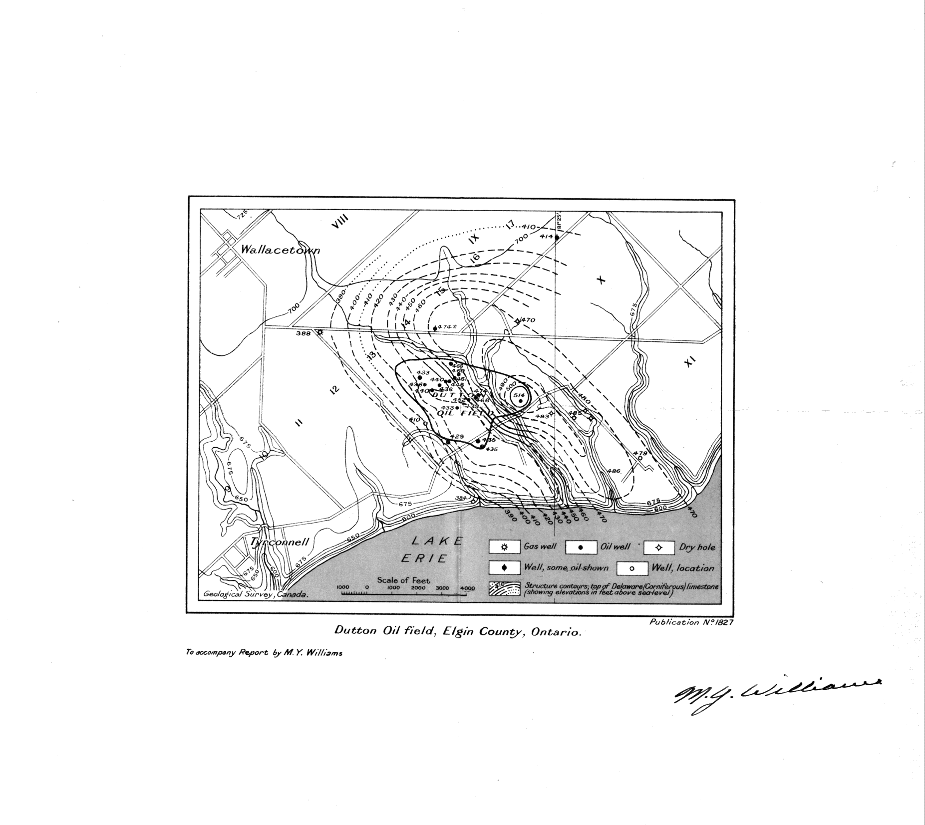
Dutton Oil Field, Elgin County |
|
Front/Back |
Front |
|
Blank
|
No |
|
Physical Location |
MAPH |
|
Cartographer
|
Geological Survey of Canada |
|
Publisher
|
Geological Survey of Canada |
|
Date
|
|
|
Copyright Holder |
Government |
|
Map Type |
Resource |
|
Continent
|
North America |
|
Country
|
Canada |
|
State
|
Ontario |
|
County
|
Elgin |
|
Township
|
|
|
Municipality
|
|
|
Lat Ne |
42.63654 |
|
Long Ne |
-81.391885 |
|
Lat Sw |
42.587604 |
|
Long Sw |
-81.467333 |
|
Map Scale Text |
1:1,000 |
|
Map Scale Ratio |
1:1,000 |
|
Quality Score |
2 |
|
Documentation Score |
2 |
|
Georeference Algorithm |
|
|
Well Points |
Yes |
|
Notes
|
An original signed map from M.Y. Williams showing the Dutton Oil Field with contours and well locations. |