| Filename | Brittain_MAPH_3_2018-07-31_1 |
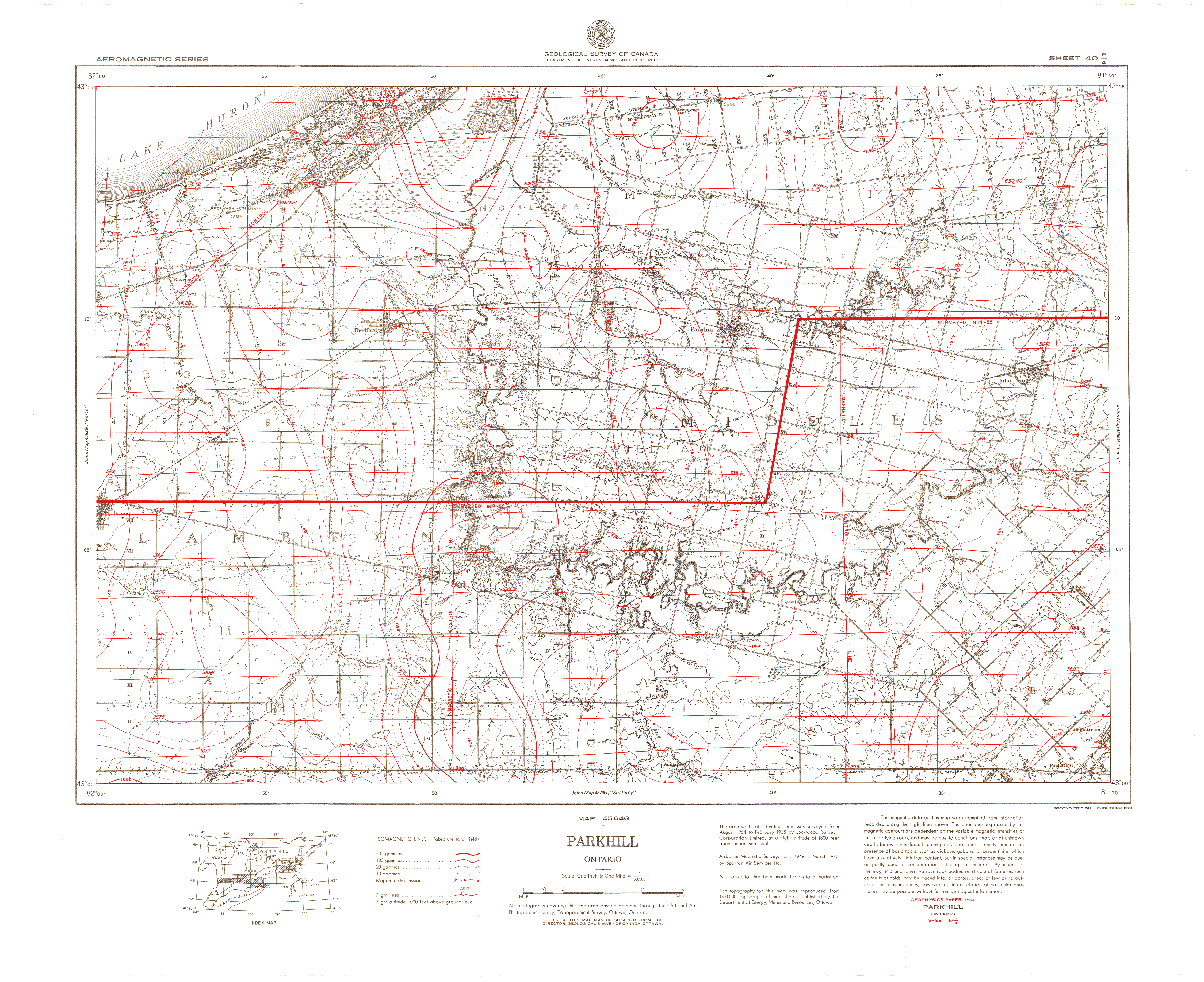
| Map Title | Map 4564G - Parkhill Ontario |
| Front/Back | Front |
| Blank | No |
| Physical Location | MAPH |
| Cartographer | National Air Photographic Library, Topographical Survey |
| Publisher | Department of Energy, Mines and Resources |
| Date | 1970-01-01 |
| Copyright Holder | Government |
| Map Type | Thematic |
| Continent | North America |
| Country | Canada |
| State | Ontario |
| County | |
| Township | |
| Municipality | |
| Lat Ne | 43.256769 |
| Long Ne | -81.501379 |
| Lat Sw | 43.004233 |
| Long Sw | -82.003514 |
| Map Scale Text | 1 inch: 1 mile |
| Map Scale Ratio | 1:63,360 |
| Quality Score | 2 |
| Documentation Score | 2 |
| Georeference Algorithm | |
| Well Points | No |
| Notes | A map of Parkhill, Ontario based on a geophysical survey done by Spartan Air Services Limited. |