| Filename | Brittain_MAPH_23_2018-08-01_1 |
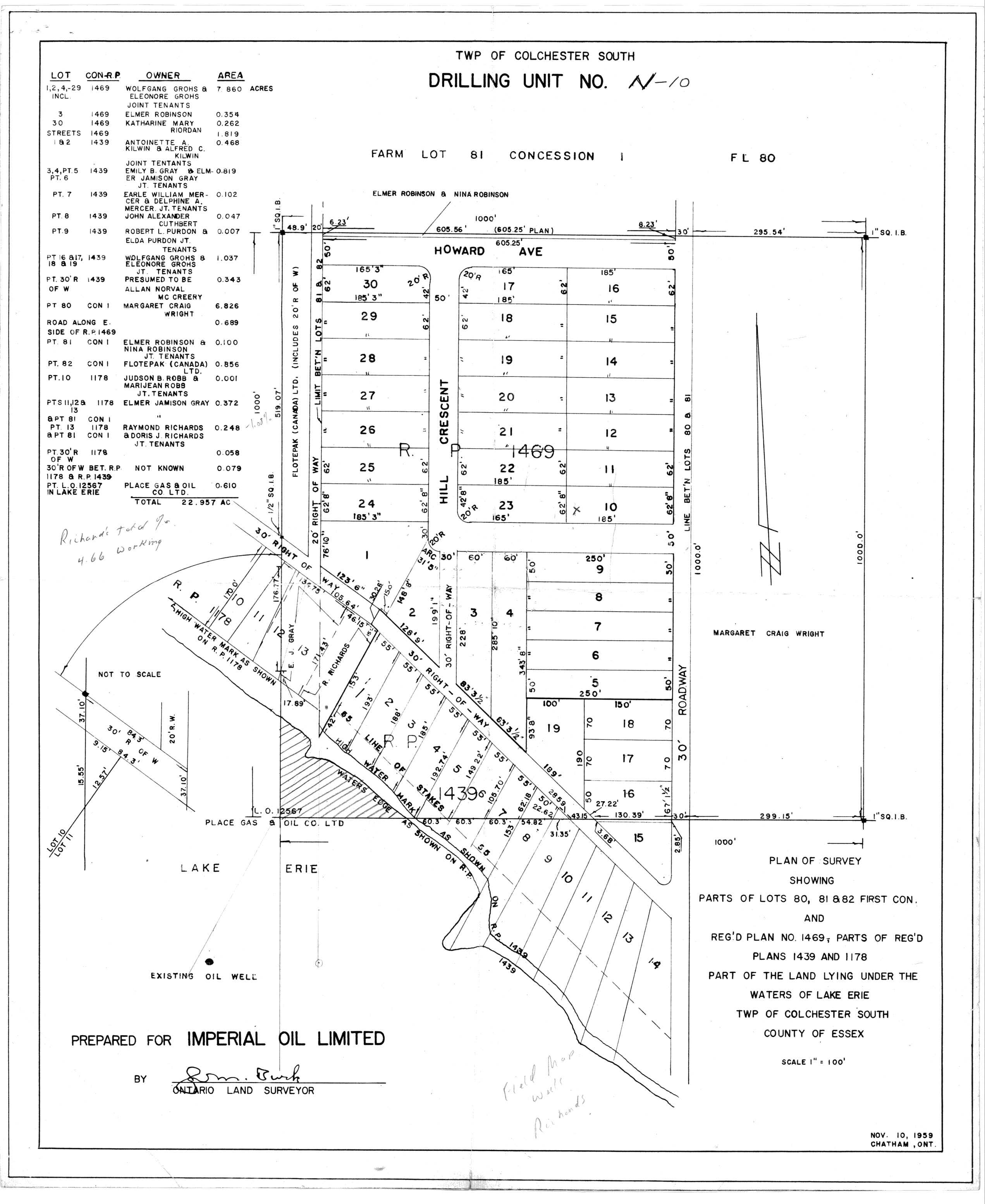
| Map Title | TWP of Colchester South Drilling unit no. N-10 |
| Front/Back | Front |
| Blank | No |
| Physical Location | MAPH |
| Cartographer | Sam Burk - Ontario Land Surveyor |
| Publisher | Imperial Oil Limited |
| Date | 1959-11-10 |
| Copyright Holder | Private |
| Map Type | Resource |
| Continent | North America |
| Country | Canada |
| State | Ontario |
| County | Essex |
| Township | Colchester |
| Municipality | |
| Lat Ne | 42.000684 |
| Long Ne | -82.957068 |
| Lat Sw | 41.995256 |
| Long Sw | -82.963419 |
| Map Scale Text | 1 inch: 100 feet |
| Map Scale Ratio | 1:1,200 |
| Quality Score | 2 |
| Documentation Score | 2 |
| Georeference Algorithm | |
| Well Points | Yes |
| Notes | A plan of survey showing partial lots and land under the waters of Lake Erie with lots/concessions and well locations. |