| Filename | Brittain_MAPH_22_2018-08-01_1 |
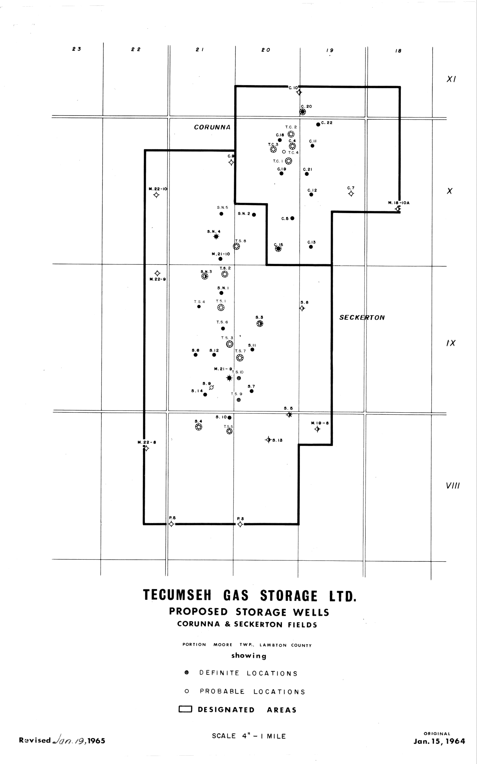
| Map Title | Tecumseh Gas Storage Limited Proposed Storage Wells - Corunna and Seckerton Fields |
| Front/Back | Front |
| Blank | No |
| Physical Location | MAPH |
| Cartographer | Tecumseh Gas Storage Limited. |
| Publisher | Tecumseh Gas Storage Limited. |
| Date | 1965-01-19 |
| Copyright Holder | Private |
| Map Type | Resource |
| Continent | North America |
| Country | Canada |
| State | Ontario |
| County | Lambton |
| Township | Moore |
| Municipality | |
| Lat Ne | 42.89591 |
| Long Ne | -82.361302 |
| Lat Sw | 42.85114 |
| Long Sw | -82.414866 |
| Map Scale Text | 4 inches: 1 mile |
| Map Scale Ratio | 1:15,840 |
| Quality Score | 2 |
| Documentation Score | 2 |
| Georeference Algorithm | |
| Well Points | Yes |
| Notes | A map showing gas storage wells in the Corunna and Seckerton fields showing definite and probable locations. |