| Filename | Brittain_MAPH_173_2018-08-07_1 |
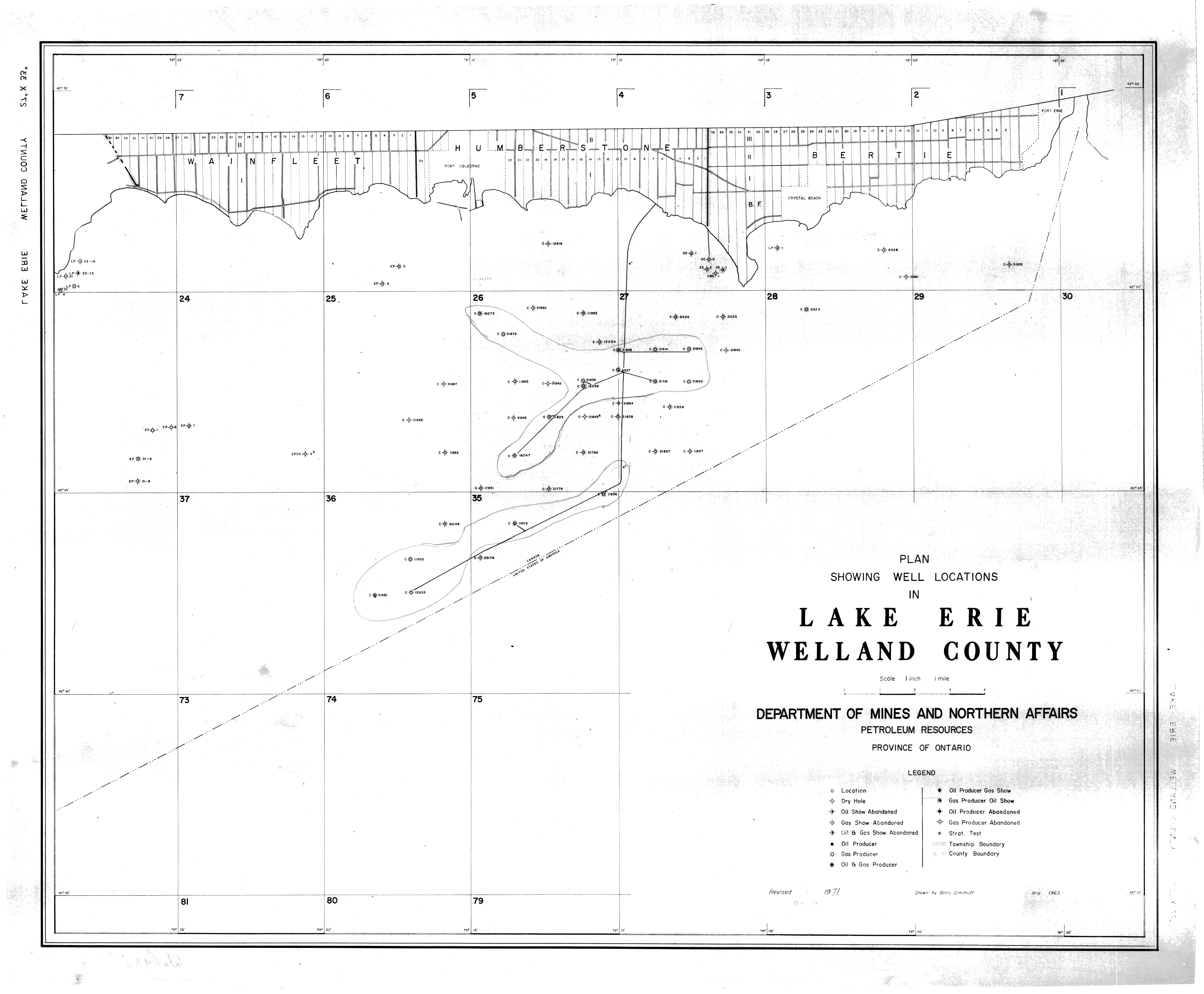
| Map Title | Plan Showing Well Locations in Lake Erie (Welland County) |
| Front/Back | Front |
| Blank | No |
| Physical Location | MAPH |
| Cartographer | Boris Dimitroff |
| Publisher | Department of Mines and Northern Affairs |
| Date | 1971-07-01 |
| Copyright Holder | Government |
| Map Type | Resource |
| Continent | North America |
| Country | Canada |
| State | Ontario |
| County | Welland |
| Township | |
| Municipality | |
| Lat Ne | 42.901264 |
| Long Ne | -78.895208 |
| Lat Sw | 42.584517 |
| Long Sw | -79.437778 |
| Map Scale Text | 1 inch: 1 mile |
| Map Scale Ratio | 1:63,360 |
| Quality Score | 2 |
| Documentation Score | 2 |
| Georeference Algorithm | |
| Well Points | Yes |
| Notes | A map showing well locations with hand drawn boundaries in Lake Erie, Welland County. |