|
Filename
|
Brittain_MAPH_172_2018-08-07_1 |
|
Map Title |
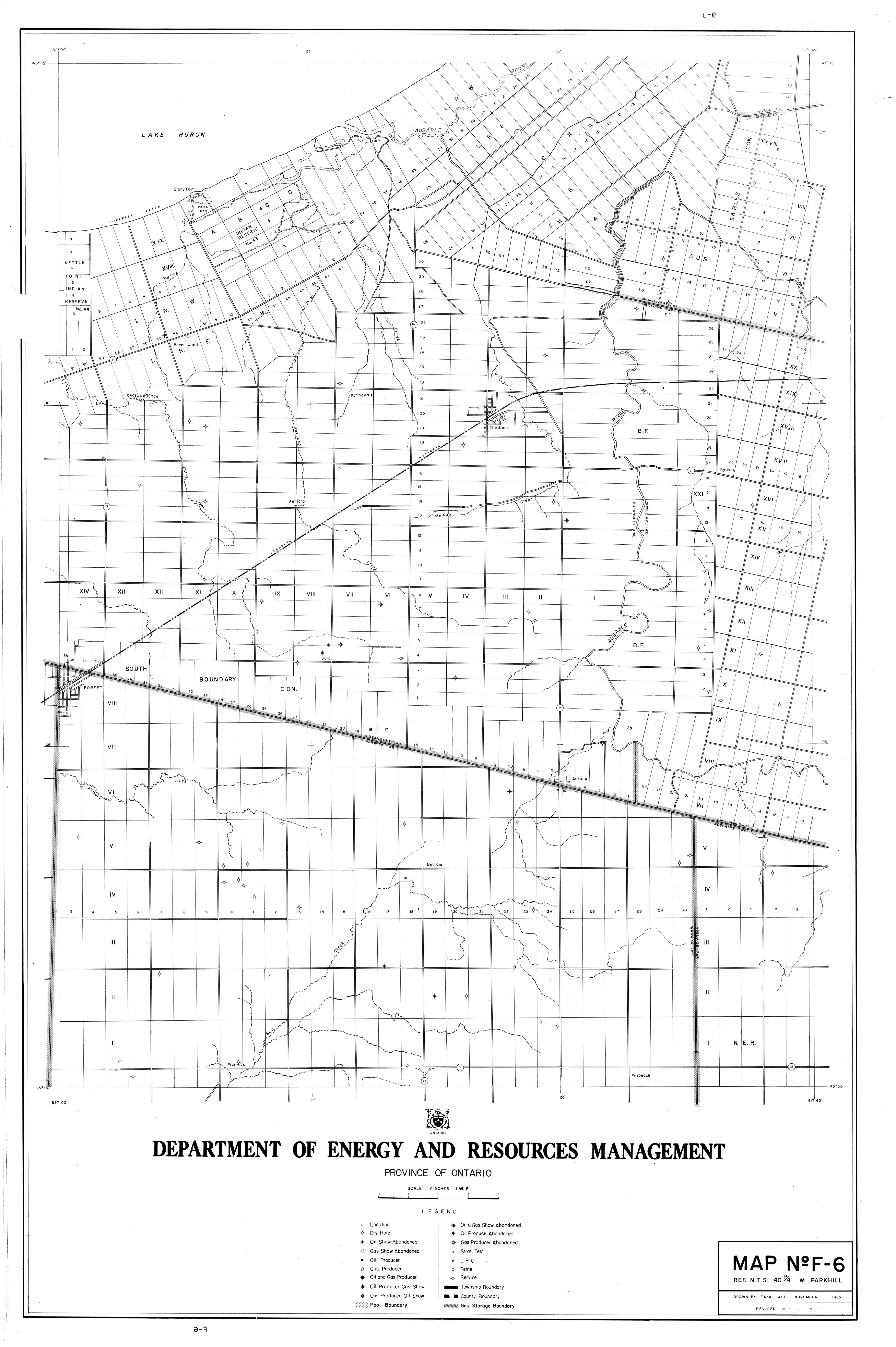
Map No. F-6 - West Parkhill |
|
Front/Back |
Front |
|
Blank
|
No |
|
Physical Location |
MAPH |
|
Cartographer
|
Fazal Ali |
|
Publisher
|
Department of Energy and Resources Management |
|
Date
|
1965-11-01 |
|
Copyright Holder |
Government |
|
Map Type |
Resource |
|
Continent
|
North America |
|
Country
|
Canada |
|
State
|
Ontario |
|
County
|
|
|
Township
|
|
|
Municipality
|
|
|
Lat Ne |
43.24865 |
|
Long Ne |
-81.836299 |
|
Lat Sw |
42.996755 |
|
Long Sw |
-82.004164 |
|
Map Scale Text |
2 inches: 1 mile |
|
Map Scale Ratio |
1:31,680 |
|
Quality Score |
2 |
|
Documentation Score |
2 |
|
Georeference Algorithm |
|
|
Well Points |
Yes |
|
Notes
|
A map of West Parkhill with a reference to map 40 P/4. |