| Filename | Brittain_MAPH_175_2018-08-07_1 |
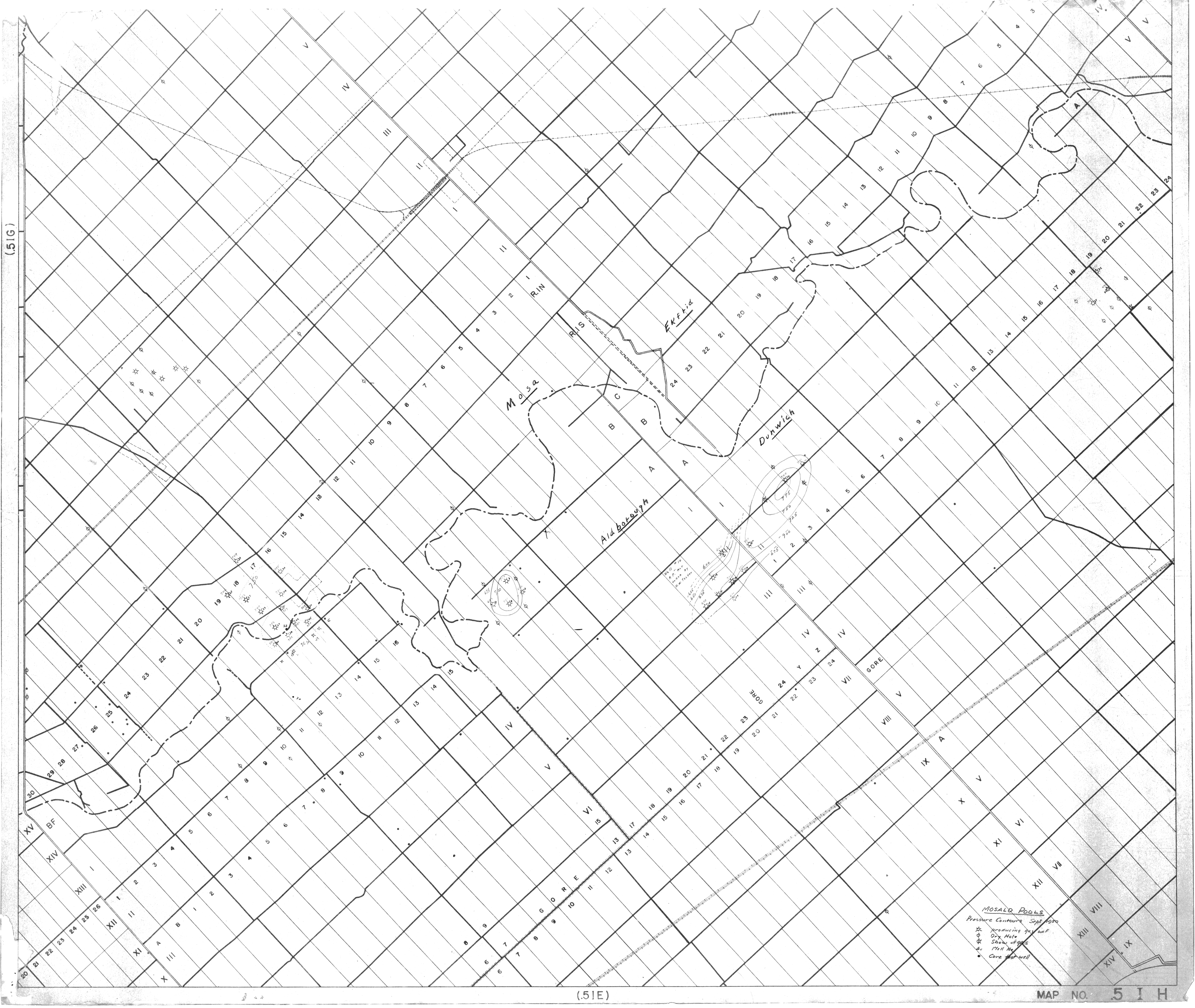
| Map Title | Mosald Pools |
| Front/Back | Front |
| Blank | No |
| Physical Location | MAPH |
| Cartographer | |
| Publisher | |
| Date | 1950-09-01 |
| Copyright Holder | |
| Map Type | Resource |
| Continent | North America |
| Country | Canada |
| State | Ontario |
| County | |
| Township | |
| Municipality | |
| Lat Ne | 42.787867 |
| Long Ne | -81.489021 |
| Lat Sw | 42.563744 |
| Long Sw | -81.835492 |
| Map Scale Text | |
| Map Scale Ratio | |
| Quality Score | 2 |
| Documentation Score | 2 |
| Georeference Algorithm | |
| Well Points | Yes |
| Notes | A map of Mosald Pools pressure contours for September 1950 showing lots and concessions. |