| Filename | Brittain_MAPH_171_2018-08-07_1 |
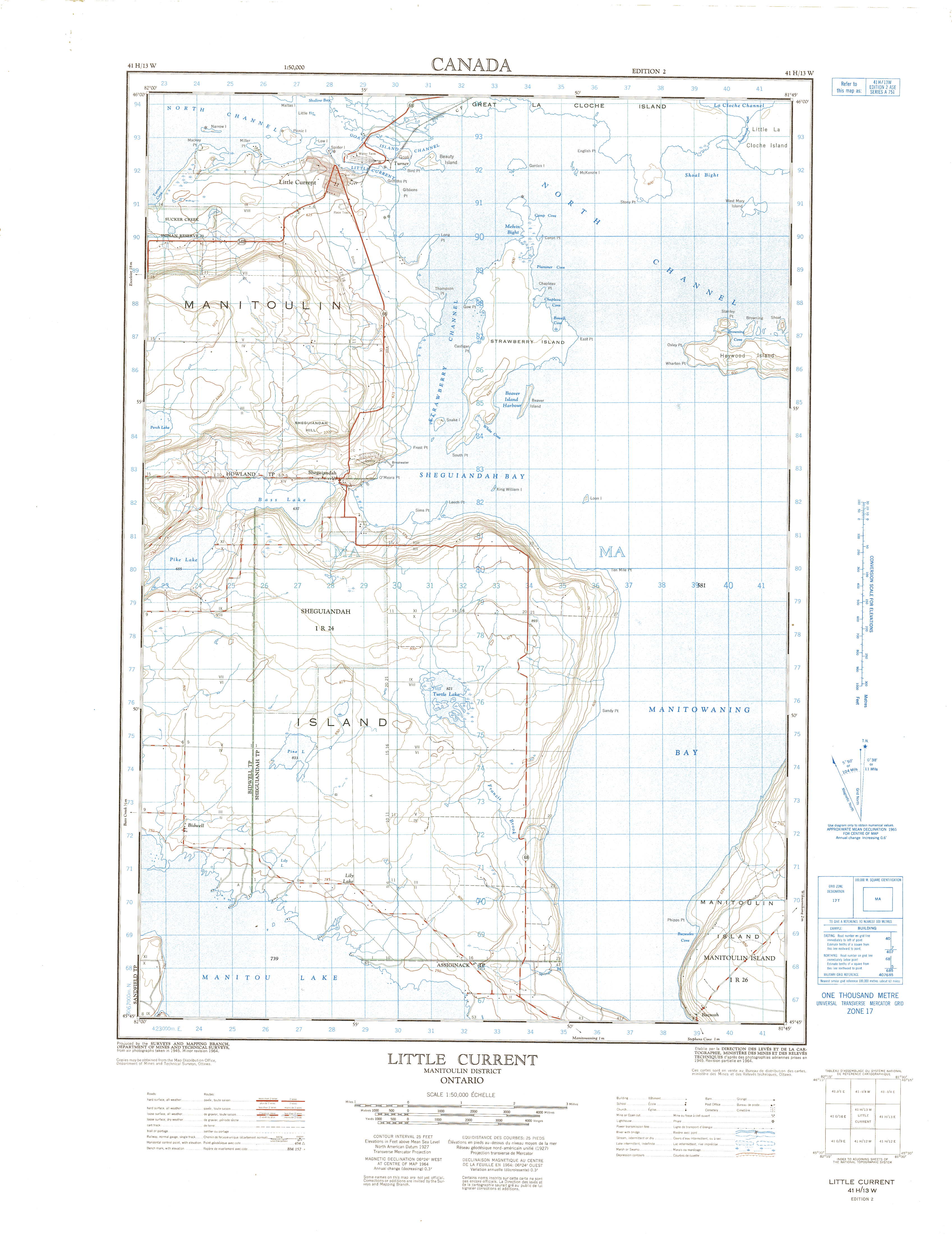
| Map Title | Little Current, Ontario |
| Front/Back | Front |
| Blank | No |
| Physical Location | MAPH |
| Cartographer | Department of Mines and Technical Surveys |
| Publisher | Department of Mines and Technical Surveys |
| Date | 1964-01-01 |
| Copyright Holder | Government |
| Map Type | Topographic |
| Continent | North America |
| Country | Canada |
| State | Ontario |
| County | |
| Township | |
| Municipality | |
| Lat Ne | 45.990419 |
| Long Ne | -81.768551 |
| Lat Sw | 45.753602 |
| Long Sw | -81.996499 |
| Map Scale Text | 1:50,000 |
| Map Scale Ratio | 1:50,000 |
| Quality Score | 2 |
| Documentation Score | 1 |
| Georeference Algorithm | |
| Well Points | No |
| Notes | A map of Little Current, District of Manitoulin, Ontario. |