| Filename | Brittain_MAPH_16_2018-08-01_1 |
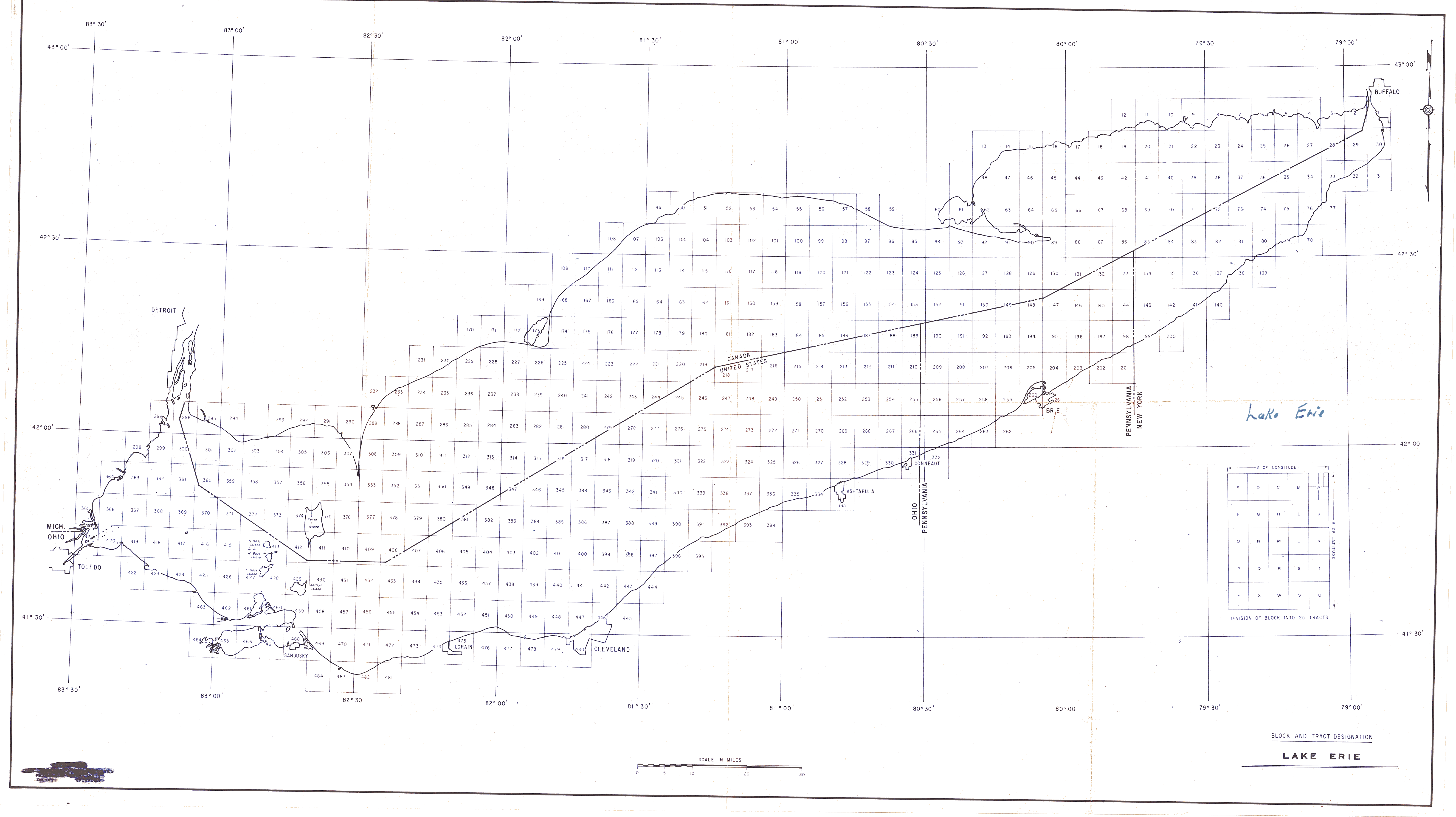
| Map Title | Block and Tract Designation - Lake Erie |
| Front/Back | Front |
| Blank | No |
| Physical Location | MAPH |
| Cartographer | |
| Publisher | |
| Date | |
| Copyright Holder | Private |
| Map Type | Political |
| Continent | North America |
| Country | |
| State | |
| County | |
| Township | |
| Municipality | |
| Lat Ne | 42.957369 |
| Long Ne | -78.828118 |
| Lat Sw | 41.225783 |
| Long Sw | -83.669305 |
| Map Scale Text | |
| Map Scale Ratio | |
| Quality Score | 2 |
| Documentation Score | 1 |
| Georeference Algorithm | |
| Well Points | No |
| Notes | A map showing Lake Erie along the Canadian/United States border. |