| Filename | Brittain_MAPH_160_2018-08-07_1 |
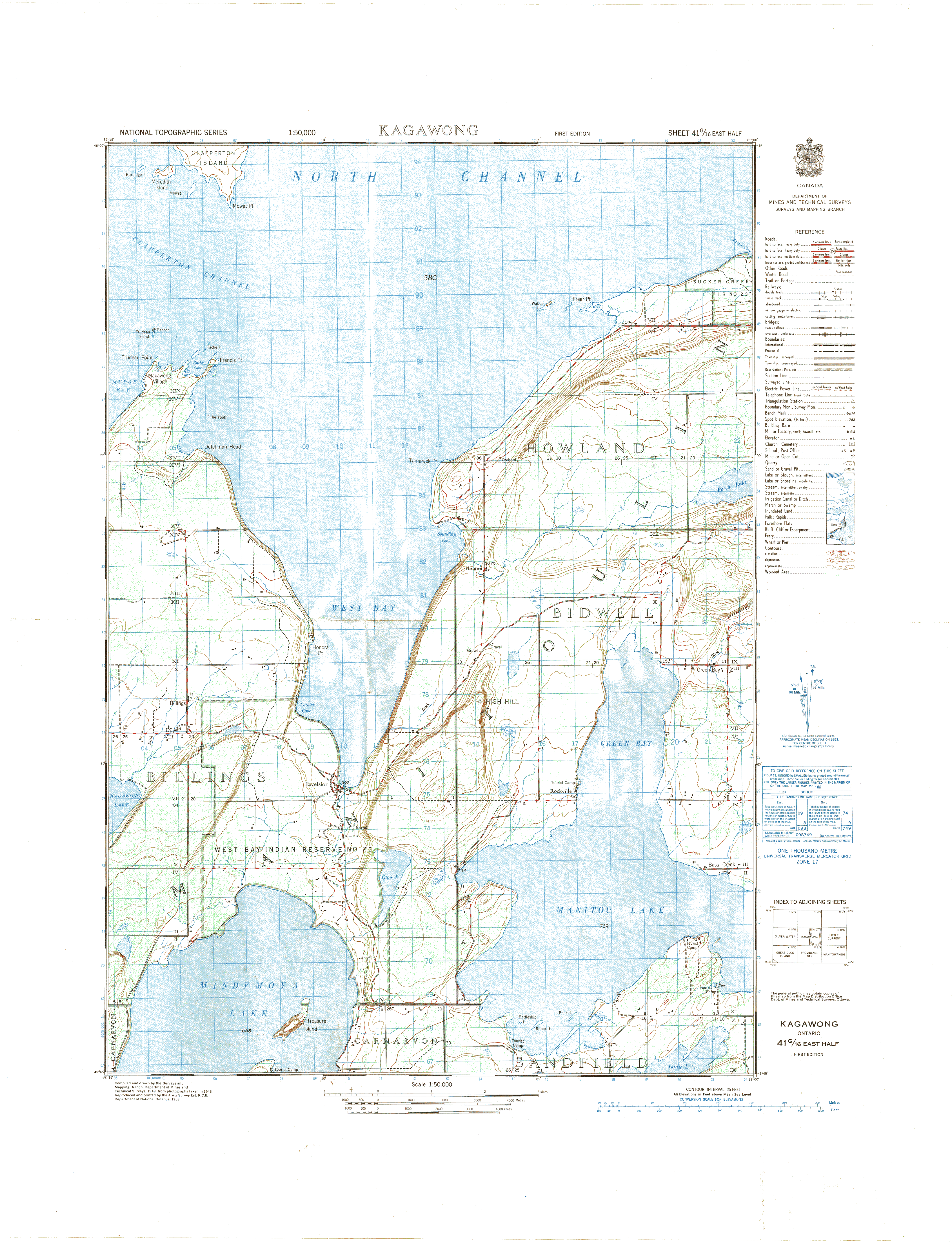
| Map Title | Kagawong, Ontario |
| Front/Back | Front |
| Blank | No |
| Physical Location | MAPH |
| Cartographer | Department of Mines and Technical Surveys |
| Publisher | Department of National Defence |
| Date | 1949-01-01 |
| Copyright Holder | Government |
| Map Type | Political |
| Continent | North America |
| Country | Canada |
| State | Ontario |
| County | |
| Township | |
| Municipality | |
| Lat Ne | 45.971064 |
| Long Ne | -81.997219 |
| Lat Sw | 45.746537 |
| Long Sw | -82.250847 |
| Map Scale Text | 1:50,000 |
| Map Scale Ratio | 1:50,000 |
| Quality Score | 2 |
| Documentation Score | 1 |
| Georeference Algorithm | |
| Well Points | No |
| Notes | A map of Kagawong, Ontario. |