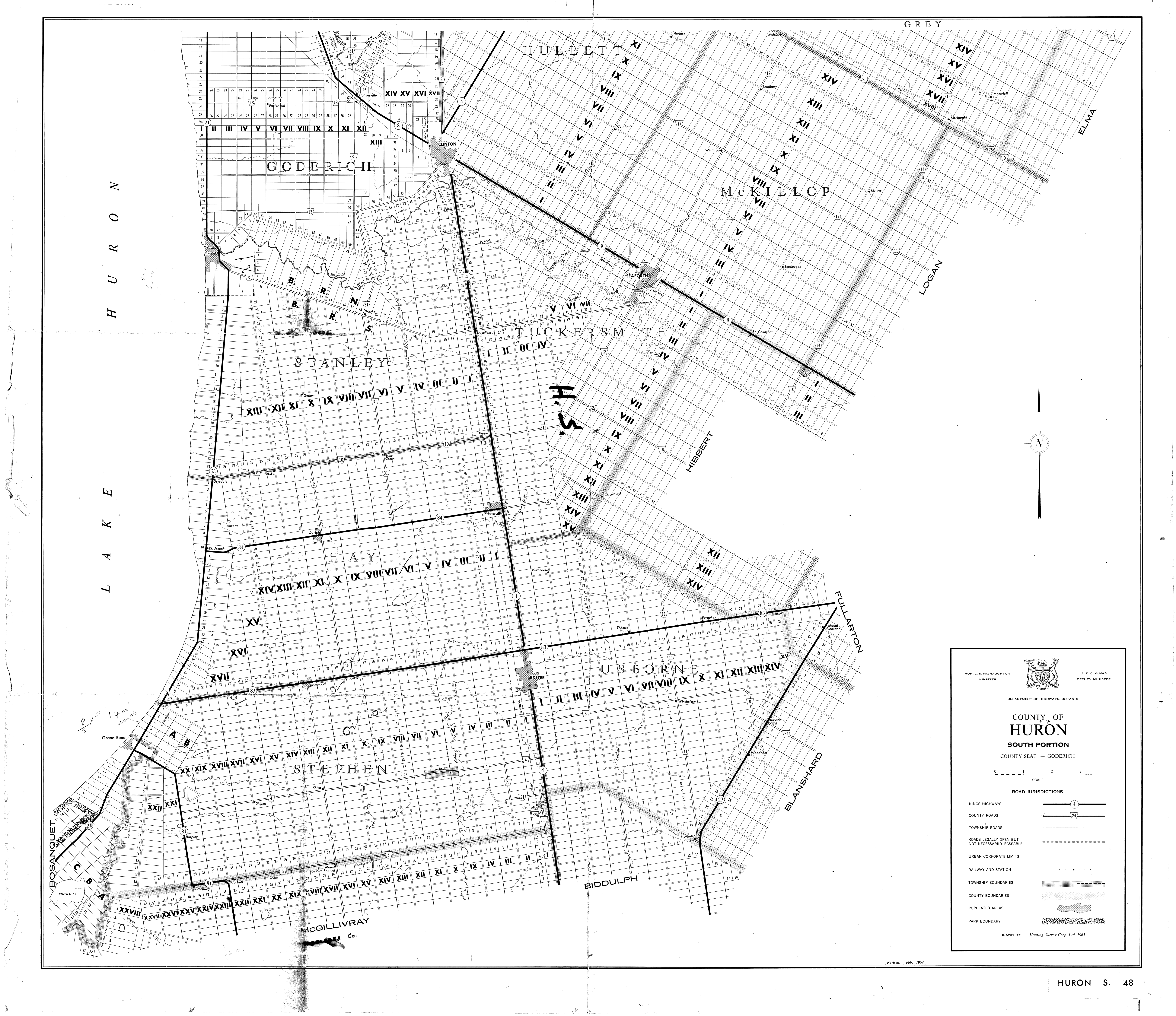
| Filename | Brittain_MAPH_13_2018-08-01_1 |
| Map Title | County of Huron, South Portion |
| Front/Back | Front |
| Blank | No |
| Physical Location | MAPH |
| Cartographer | Hunting Survey Corporation Limited |
| Publisher | Department of Highways Ontario |
| Date | 1963-01-01 |
| Copyright Holder | Government |
| Map Type | Resource |
| Continent | North America |
| Country | Canada |
| State | Ontario |
| County | Huron |
| Township | |
| Municipality | |
| Lat Ne | 43.692391 |
| Long Ne | -81.139551 |
| Lat Sw | 43.261194 |
| Long Sw | -81.805582 |
| Map Scale Text | 1 inch: 1 mile |
| Map Scale Ratio | 1:63,360 |
| Quality Score | 2 |
| Documentation Score | 2 |
| Georeference Algorithm | |
| Well Points | No |
| Notes | A map showing circled locations of wells with handwritten notes for Huron South. |