| Filename | Brittain_MAPH_129_2018-08-03_1 |
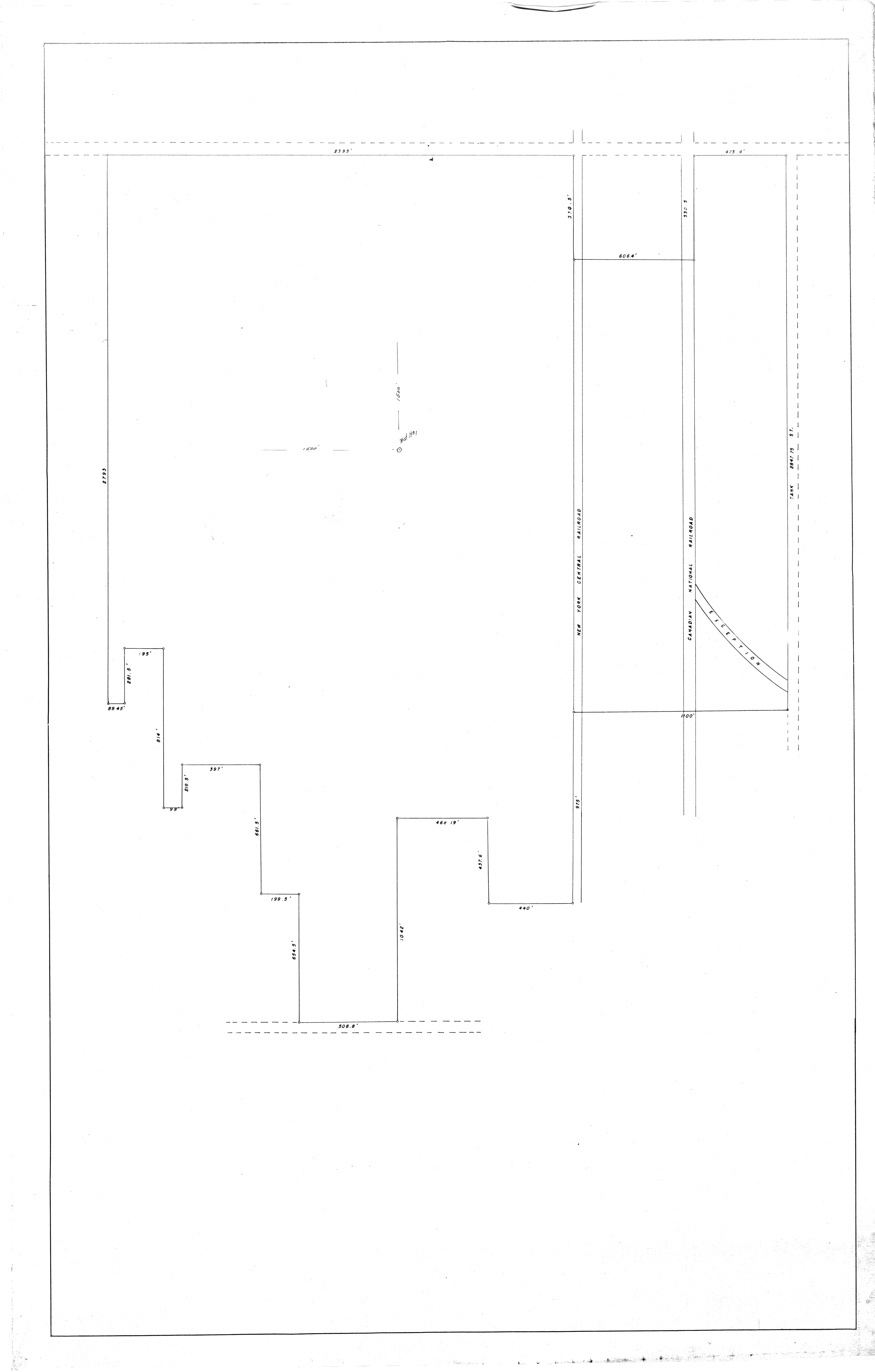
| Map Title | Telsey Property |
| Front/Back | Front |
| Blank | No |
| Physical Location | MAPH |
| Cartographer | |
| Publisher | |
| Date | |
| Copyright Holder | Private |
| Map Type | Resource |
| Continent | North America |
| Country | Canada |
| State | Ontario |
| County | Lambton |
| Township | Enniskillen |
| Municipality | |
| Lat Ne | 42.906455 |
| Long Ne | -82.145518 |
| Lat Sw | 42.882354 |
| Long Sw | -82.161114 |
| Map Scale Text | |
| Map Scale Ratio | |
| Quality Score | 2 |
| Documentation Score | 1 |
| Georeference Algorithm | |
| Well Points | No |
| Notes | A map showing the Telsey Property. |