| Filename | Brittain_MAPVFC_468_2018-12-17_1 |
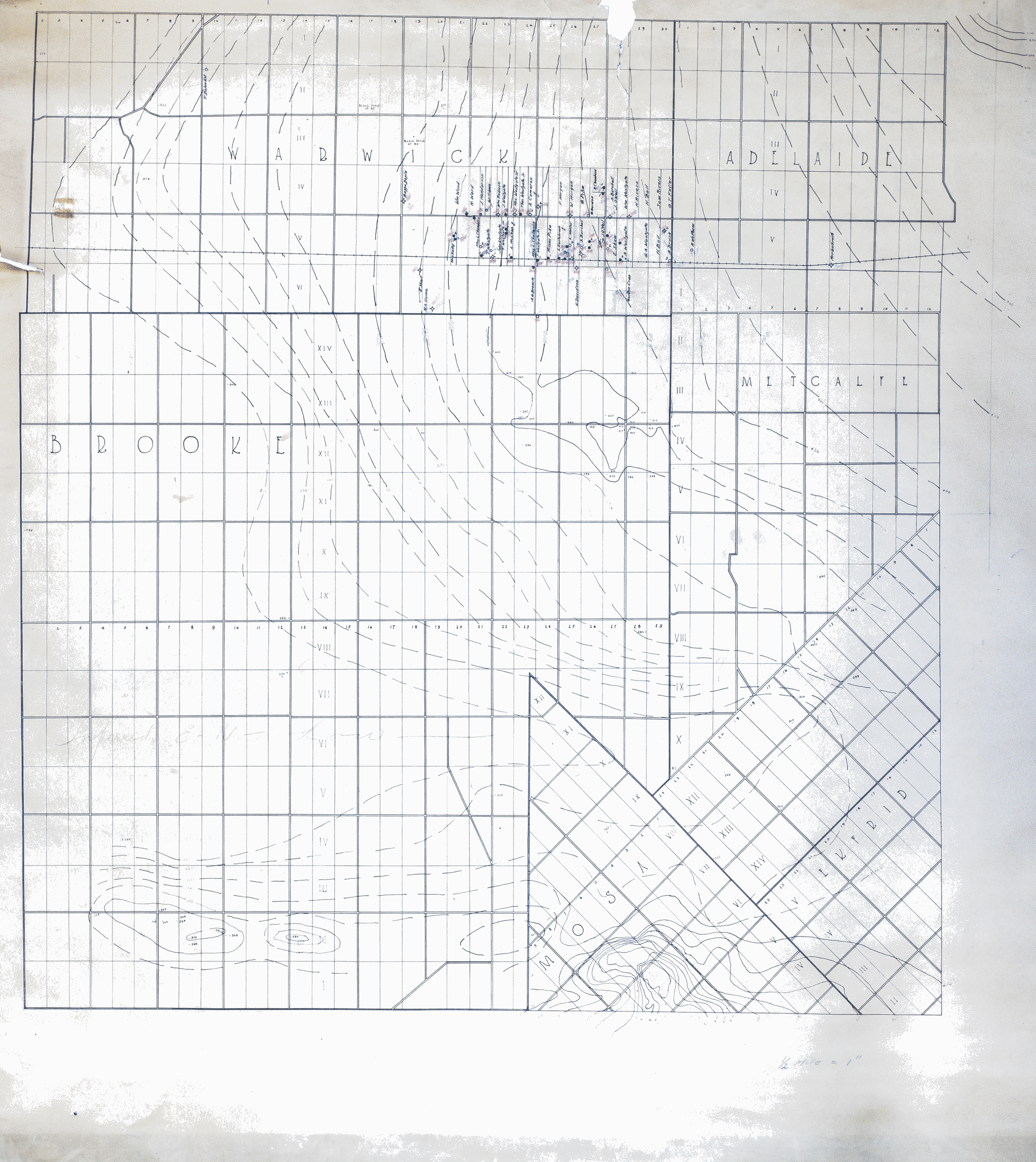
| Map Title | Unknown (Brooke-Warwick) |
| Front/Back | Front |
| Blank | No |
| Physical Location | MAPVFC |
| Cartographer | |
| Publisher | |
| Date | |
| Copyright Holder | Government |
| Map Type | Resource |
| Continent | North America |
| Country | Canada |
| State | Ontario |
| County | |
| Township | Brooke |
| Municipality | |
| Lat Ne | 43.004547 |
| Long Ne | -81.706017 |
| Lat Sw | 42.756831 |
| Long Sw | -82.00442 |
| Map Scale Text | |
| Map Scale Ratio | |
| Quality Score | 2 |
| Documentation Score | 3 |
| Georeference Algorithm | |
| Well Points | Yes |
| Notes | An unlabeled map showing Brooke and Warwick townships with contours, lots and concessions, and hand-drawn well points. |