| Filename | Brittain_MAPVFC_467_2018-12-17_1 |
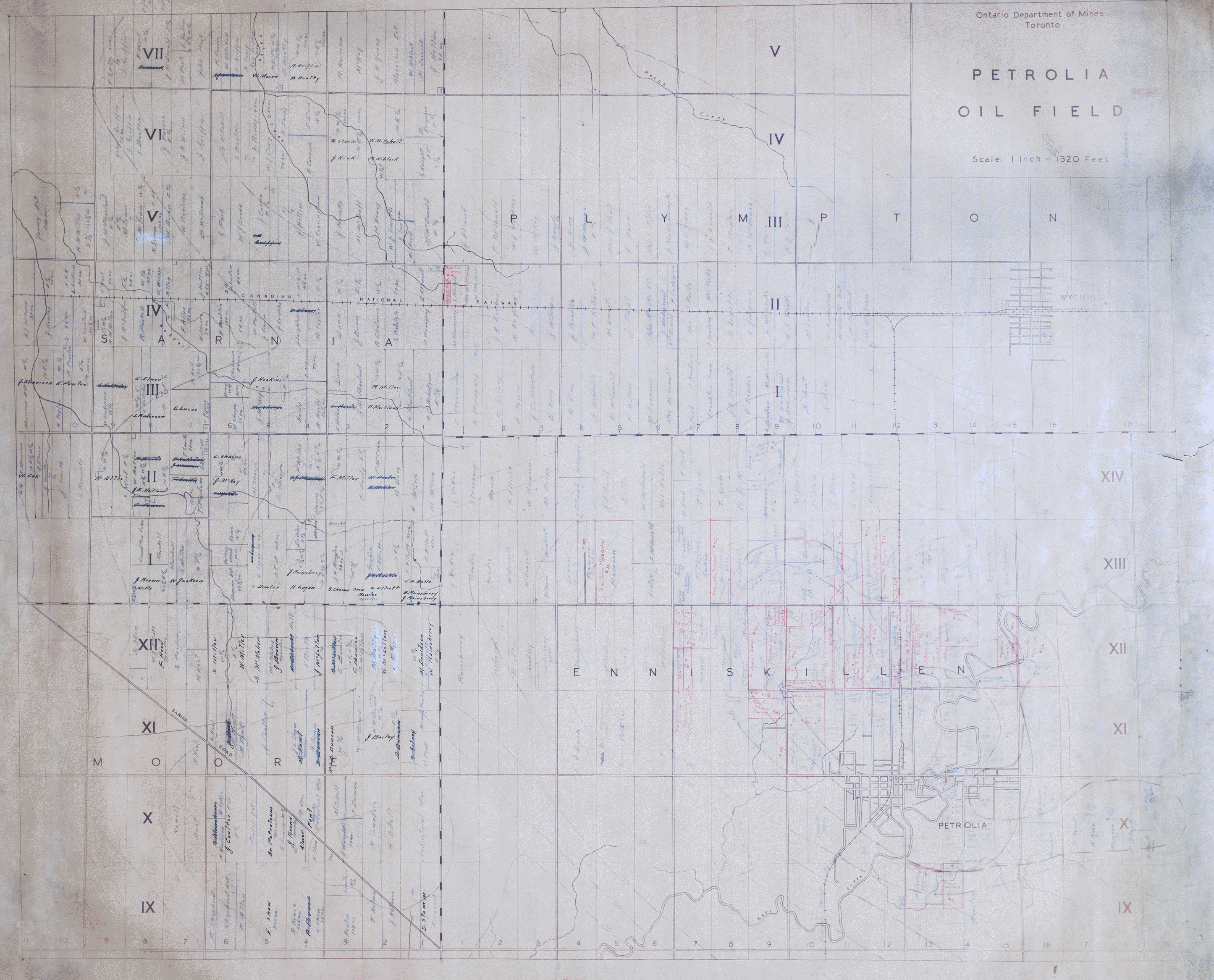
| Map Title | Petrolia Oil Field |
| Front/Back | Front |
| Blank | No |
| Physical Location | MAPVFC |
| Cartographer | Ontario Department of Mines |
| Publisher | Ontario Department of Mines |
| Date | |
| Copyright Holder | Government |
| Map Type | Resource |
| Continent | North America |
| Country | Canada |
| State | Ontario |
| County | |
| Township | |
| Municipality | |
| Lat Ne | 42.992088 |
| Long Ne | -82.08036 |
| Lat Sw | 42.859657 |
| Long Sw | -82.280538 |
| Map Scale Text | 1 inch: 1320 feet |
| Map Scale Ratio | 1:15,840 |
| Quality Score | 2 |
| Documentation Score | 3 |
| Georeference Algorithm | |
| Well Points | No |
| Notes | A map of the Petrolia Oil Field showing lots and concessions, as well as hand-drawn property owners' names. |