| Filename | Brittain_MAPVFC_410_2018-08-08_1 |
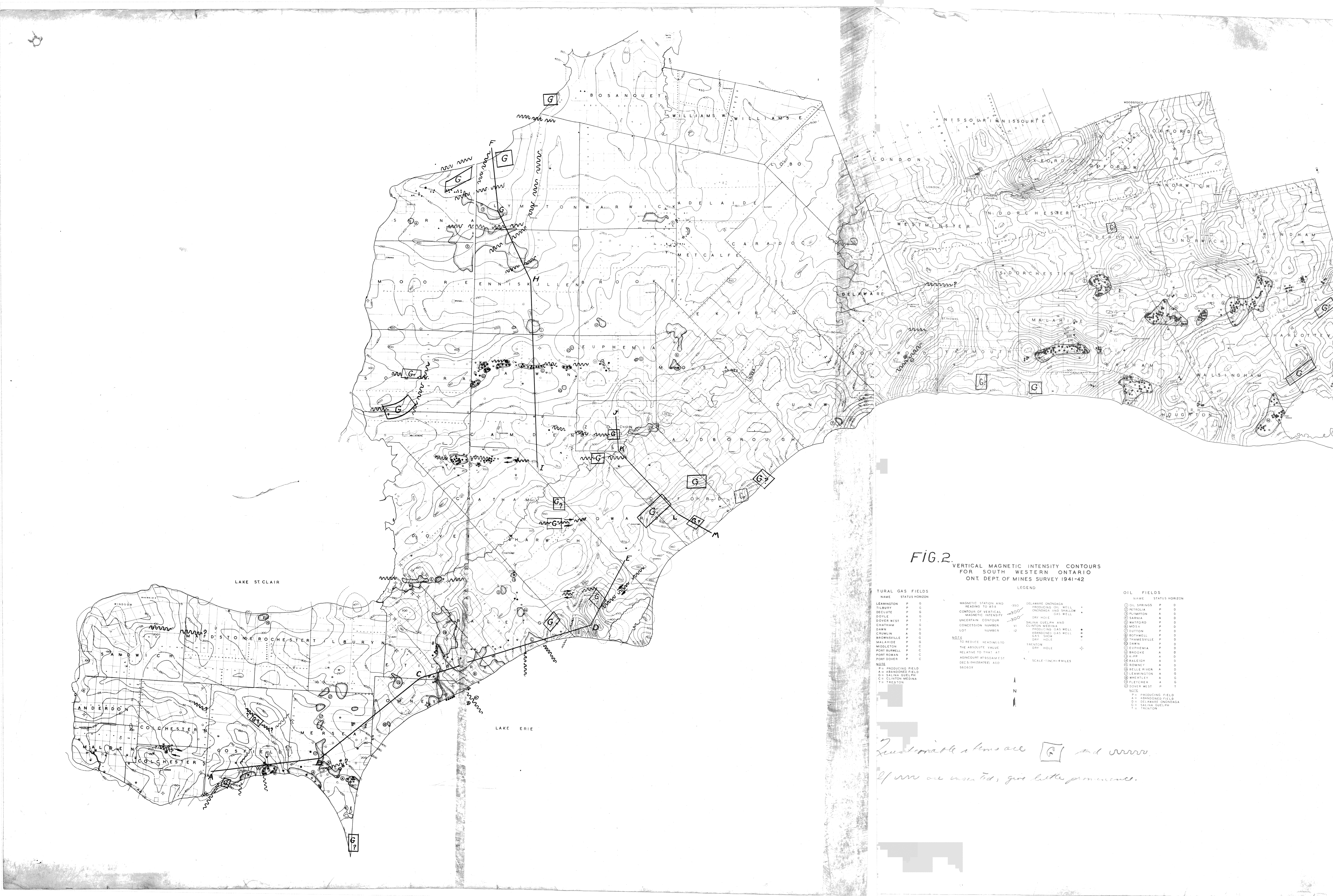
| Map Title | Vertical Magnetic Intensity Contours for Southwestern Ontario |
| Front/Back | Front |
| Blank | No |
| Physical Location | MAPVFC |
| Cartographer | Ontario Department of Mines |
| Publisher | Ontario Department of Mines |
| Date | 1941-01-01 |
| Copyright Holder | Government |
| Map Type | Resource |
| Continent | North America |
| Country | Canada |
| State | Ontario |
| County | |
| Township | |
| Municipality | |
| Lat Ne | 43.332485 |
| Long Ne | -80.280289 |
| Lat Sw | 41.885838 |
| Long Sw | -83.140096 |
| Map Scale Text | |
| Map Scale Ratio | |
| Quality Score | 2 |
| Documentation Score | 2 |
| Georeference Algorithm | |
| Well Points | No |
| Notes | A map showing contours on southwestern Ontario. |