| Filename | Brittain_MAPH_74_2018-08-02_1 |
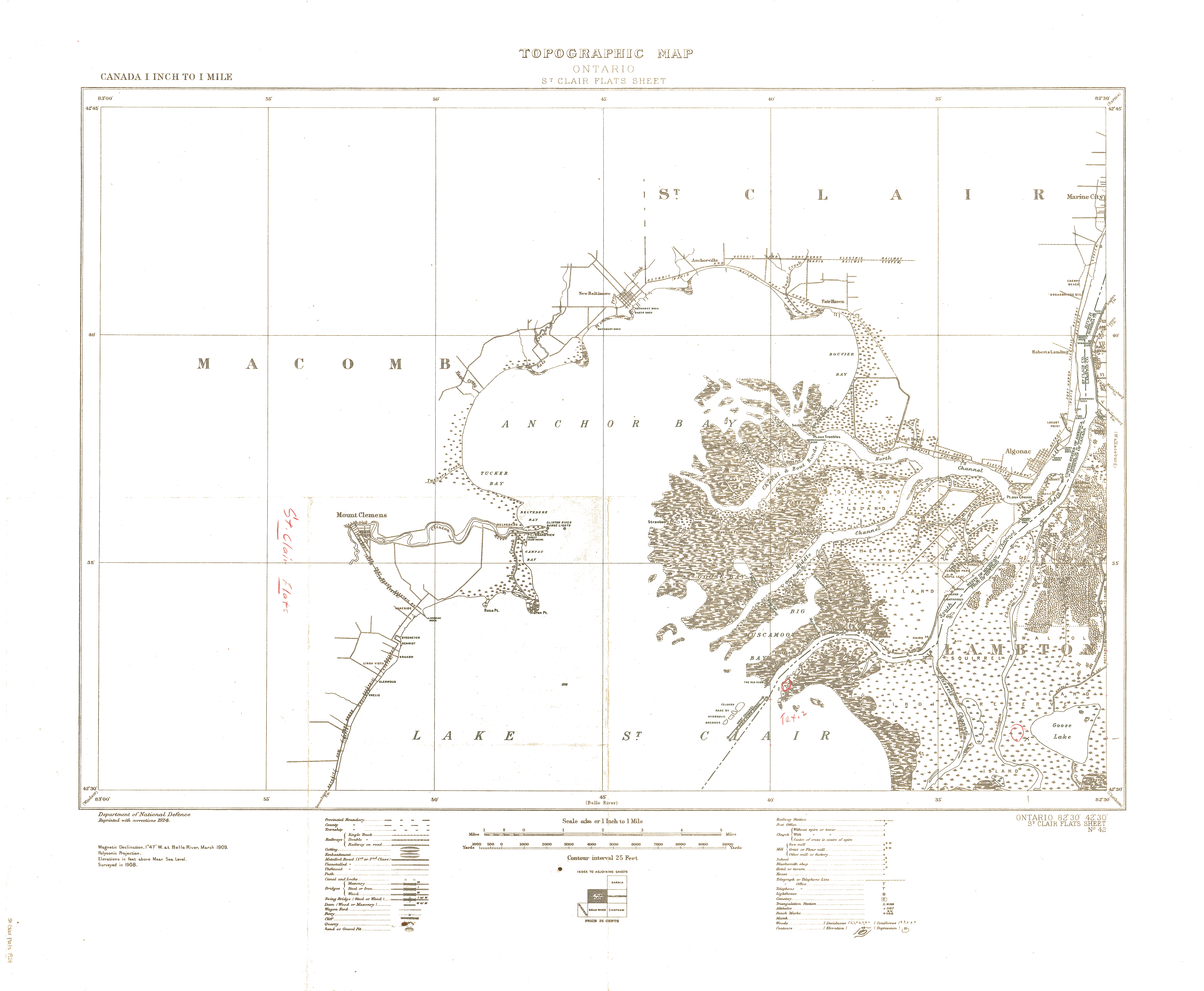
| Map Title | Ontario Topographic Map - St Clair Flats Sheet |
| Front/Back | Front |
| Blank | No |
| Physical Location | MAPH |
| Cartographer | Department of National Defence |
| Publisher | Department of National Defence |
| Date | 1924-01-01 |
| Copyright Holder | Government |
| Map Type | Political |
| Continent | North America |
| Country | Canada |
| State | Ontario |
| County | |
| Township | |
| Municipality | |
| Lat Ne | 42.726613 |
| Long Ne | -82.46843 |
| Lat Sw | 42.508534 |
| Long Sw | -83.000439 |
| Map Scale Text | 1 inch: 1 mile |
| Map Scale Ratio | 1:63,360 |
| Quality Score | 2 |
| Documentation Score | 1 |
| Georeference Algorithm | |
| Well Points | No |
| Notes | A topographic map of Anchor Bay/Lake St. Clair. |