| Filename | Brittain_MAPH_73_2018-08-02_1 |
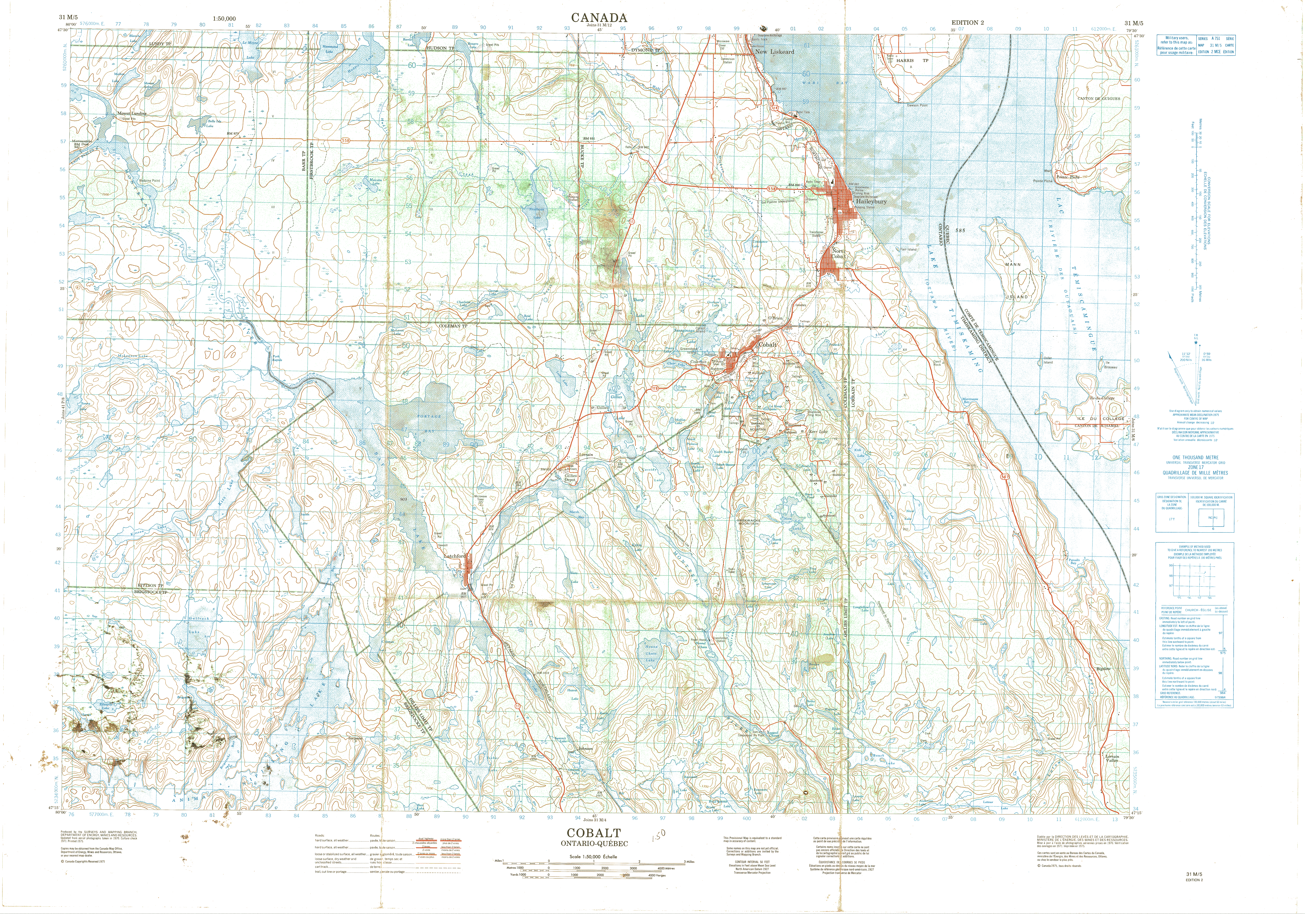
| Map Title | Cobalt along Ontario-Quebec (31 M/5) |
| Front/Back | Front |
| Blank | No |
| Physical Location | MAPH |
| Cartographer | Department of Energy, Mines and Resources |
| Publisher | Department of Energy, Mines and Resources |
| Date | 1975-01-01 |
| Copyright Holder | Government |
| Map Type | Physical |
| Continent | North America |
| Country | Canada |
| State | Ontario |
| County | |
| Township | |
| Municipality | |
| Lat Ne | 47.499249 |
| Long Ne | -79.490334 |
| Lat Sw | 47.247593 |
| Long Sw | -79.995116 |
| Map Scale Text | |
| Map Scale Ratio | 1: 50,000 |
| Quality Score | 2 |
| Documentation Score | 1 |
| Georeference Algorithm | |
| Well Points | No |
| Notes | A map showing Cobalt along the Ontario-Quebec border. |