| Filename | Brittain_MAPH_71_2018-08-02_1 |
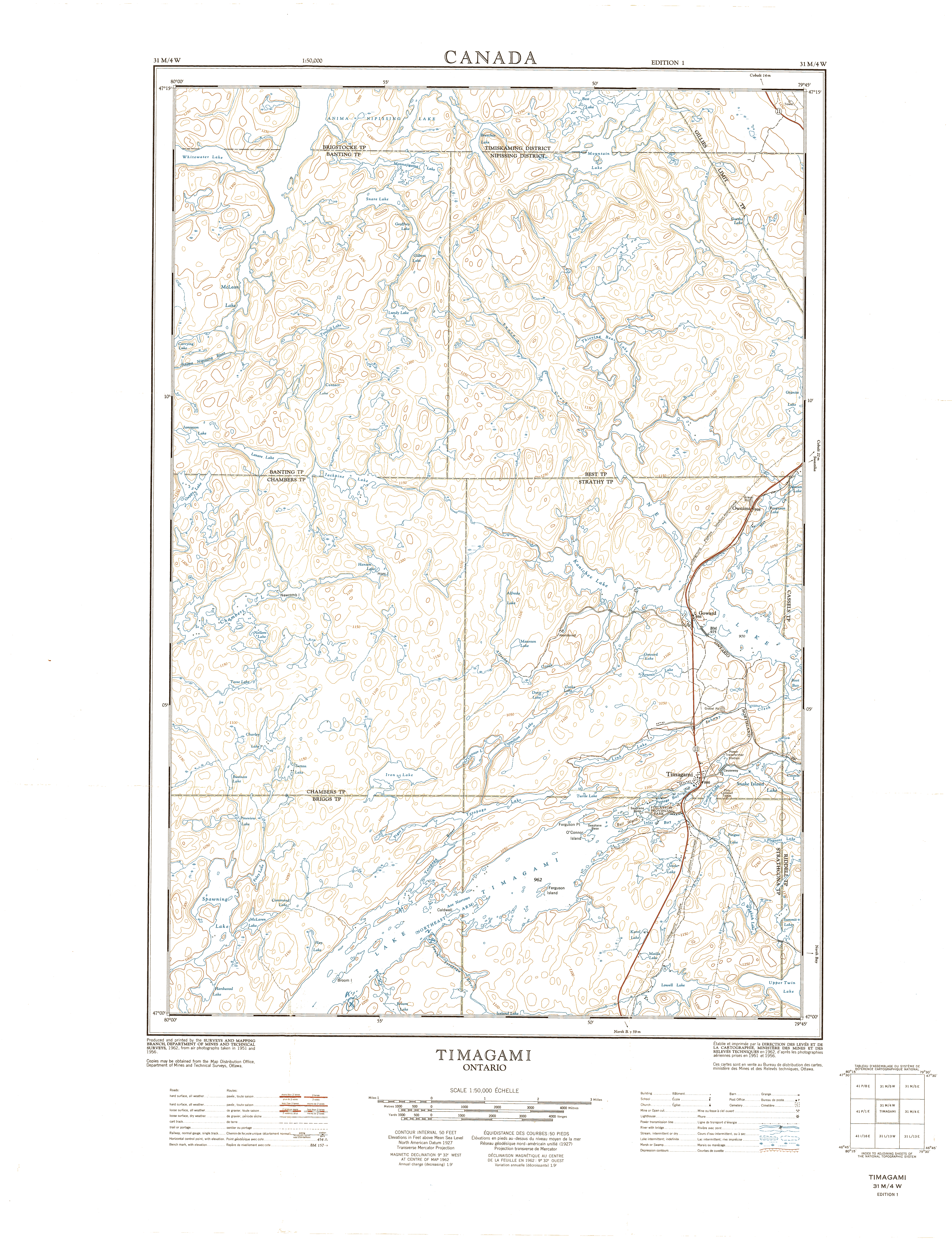
| Map Title | Timagami, Ontario |
| Front/Back | Front |
| Blank | No |
| Physical Location | MAPH |
| Cartographer | Department of Mines and Technical Surveys |
| Publisher | Department of Mines and Technical Surveys |
| Date | 1962-01-01 |
| Copyright Holder | Government |
| Map Type | Physical |
| Continent | North America |
| Country | Canada |
| State | Ontario |
| County | |
| Township | |
| Municipality | |
| Lat Ne | 47.251778 |
| Long Ne | -79.752006 |
| Lat Sw | 46.994404 |
| Long Sw | -80.021518 |
| Map Scale Text | |
| Map Scale Ratio | 1: 50,000 |
| Quality Score | 2 |
| Documentation Score | 1 |
| Georeference Algorithm | |
| Well Points | No |
| Notes | A map showing Timagami, Ontario. |