| Filename | Brittain_MAPH_46_2018-08-02_1 |
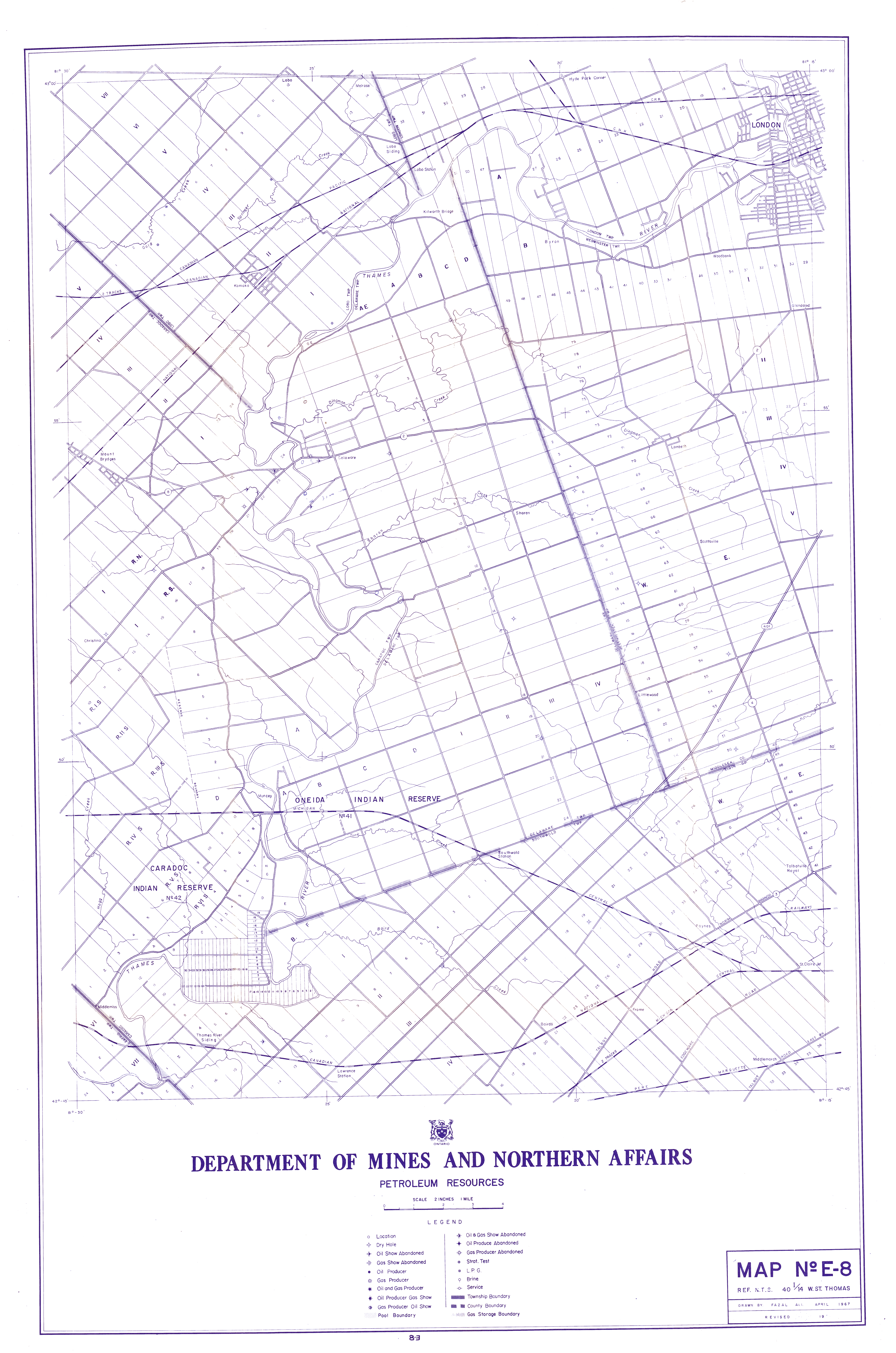
| Map Title | Map No E-8 - West St. Thomas |
| Front/Back | Front |
| Blank | No |
| Physical Location | MAPH |
| Cartographer | Fazal Ali |
| Publisher | Department of Mines and Northern Affairs |
| Date | 1967-04-01 |
| Copyright Holder | Government |
| Map Type | Resource |
| Continent | North America |
| Country | Canada |
| State | Ontario |
| County | |
| Township | |
| Municipality | St. Thomas |
| Lat Ne | 42.999367 |
| Long Ne | -81.245787 |
| Lat Sw | 42.750866 |
| Long Sw | -81.502916 |
| Map Scale Text | 2 inches: 1 mile |
| Map Scale Ratio | 1:31,680 |
| Quality Score | 2 |
| Documentation Score | 1 |
| Georeference Algorithm | |
| Well Points | Yes |
| Notes | A map of west St. Thomas - Oneida and Caradoc Indian reserves showing property boundaries and lots/concessions. |