| Filename | Brittain_MAPH_397_2018-08-01_1 |
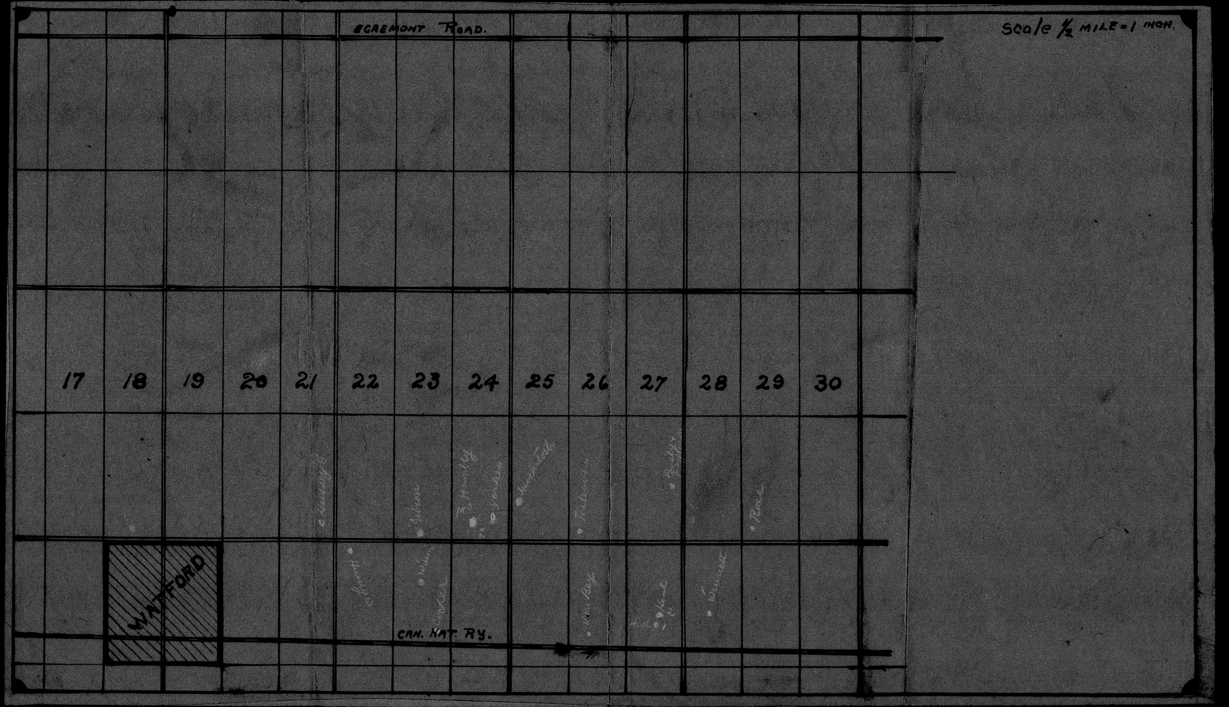
| Map Title | Unlabelled Map (Watford) |
| Front/Back | Front |
| Blank | No |
| Physical Location | MAPH |
| Cartographer | |
| Publisher | |
| Date | |
| Copyright Holder | |
| Map Type | Political |
| Continent | North America |
| Country | Canada |
| State | Ontario |
| County | |
| Township | |
| Municipality | |
| Lat Ne | 43.006615 |
| Long Ne | -81.788903 |
| Lat Sw | 42.943179 |
| Long Sw | -81.899067 |
| Map Scale Text | 1 inch: 1/2 mile |
| Map Scale Ratio | 1:31,680 |
| Quality Score | 2 |
| Documentation Score | 1 |
| Georeference Algorithm | |
| Well Points | Yes |
| Notes | A negative image of an unlabelled map showing Watford Pool with lots and concessions. |