Map midpoint:
| Filename | Brittain_MAPH_395_2018-08-01_1 |
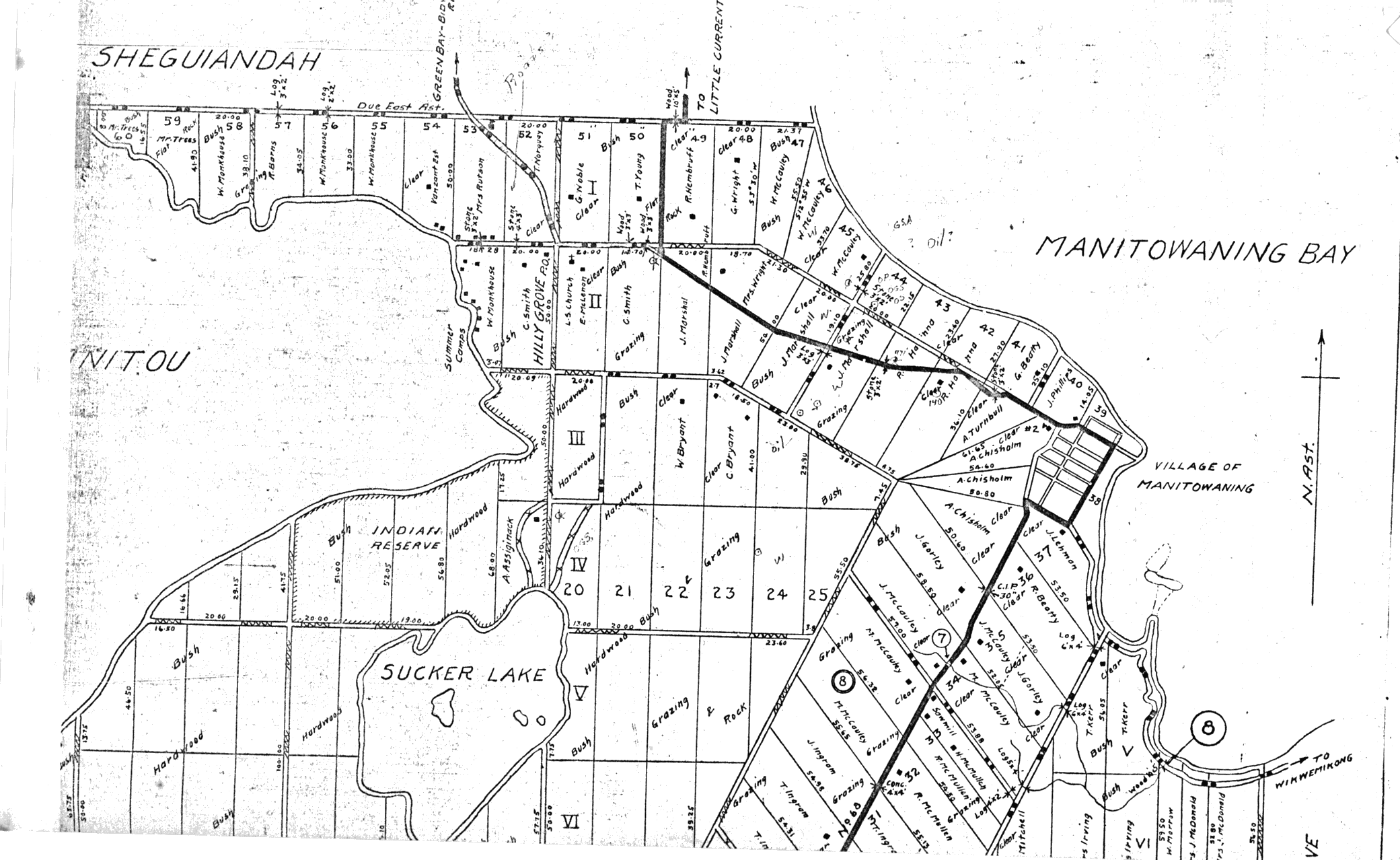
| Map Title | Manitowaning Bay |
| Front/Back | Front |
| Blank | No |
| Physical Location | MAPH |
| Cartographer | |
| Publisher | |
| Date | |
| Copyright Holder | |
| Map Type | Political |
| Continent | North America |
| Country | Canada |
| State | Ontario |
| County | |
| Township | |
| Municipality | |
| Lat Ne | 45.767468 |
| Long Ne | -81.78722 |
| Lat Sw | 45.712571 |
| Long Sw | -81.910089 |
| Map Scale Text | |
| Map Scale Ratio | |
| Quality Score | 2 |
| Documentation Score | 2 |
| Georeference Algorithm | |
| Well Points | No |
| Notes | A map of Manitowaning Bay with lots, concessions and property owners' names. |