| Filename | Brittain_MAPH_379_2018-08-13_1 |
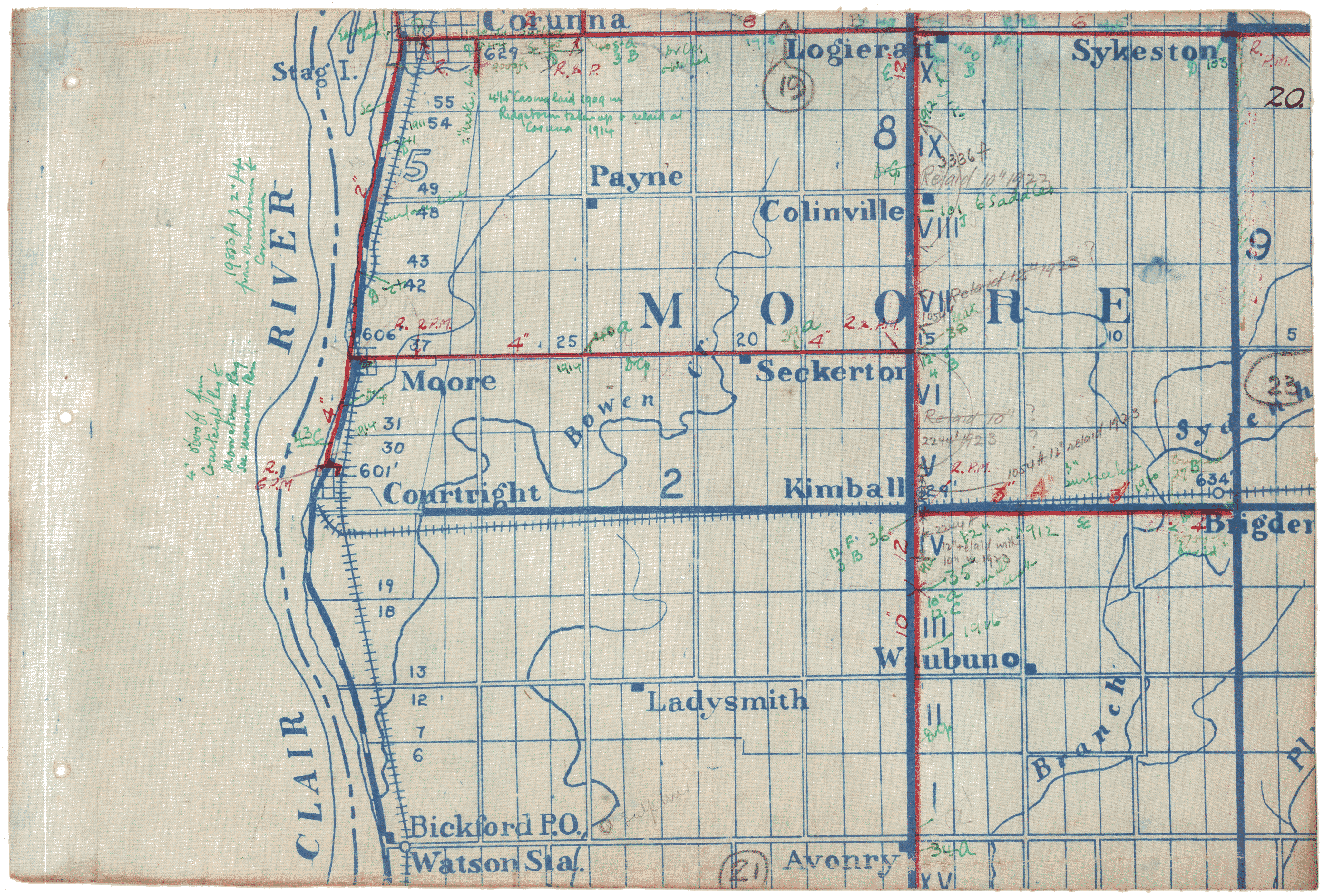
| Map Title | Kimball |
| Front/Back | Front |
| Blank | No |
| Physical Location | MAPH |
| Cartographer | |
| Publisher | |
| Date | |
| Copyright Holder | |
| Map Type | Resource |
| Continent | North America |
| Country | Canada |
| State | Ontario |
| County | |
| Township | |
| Municipality | |
| Lat Ne | 42.885859 |
| Long Ne | -82.271223 |
| Lat Sw | 42.760431 |
| Long Sw | -82.487042 |
| Map Scale Text | |
| Map Scale Ratio | |
| Quality Score | 2 |
| Documentation Score | 3 |
| Georeference Algorithm | |
| Well Points | Yes |
| Notes | A map of Kimball with lots, concessions, well points, and topographical features. |