| Filename | Brittain_MAPH_2_2018-07-31_1 |
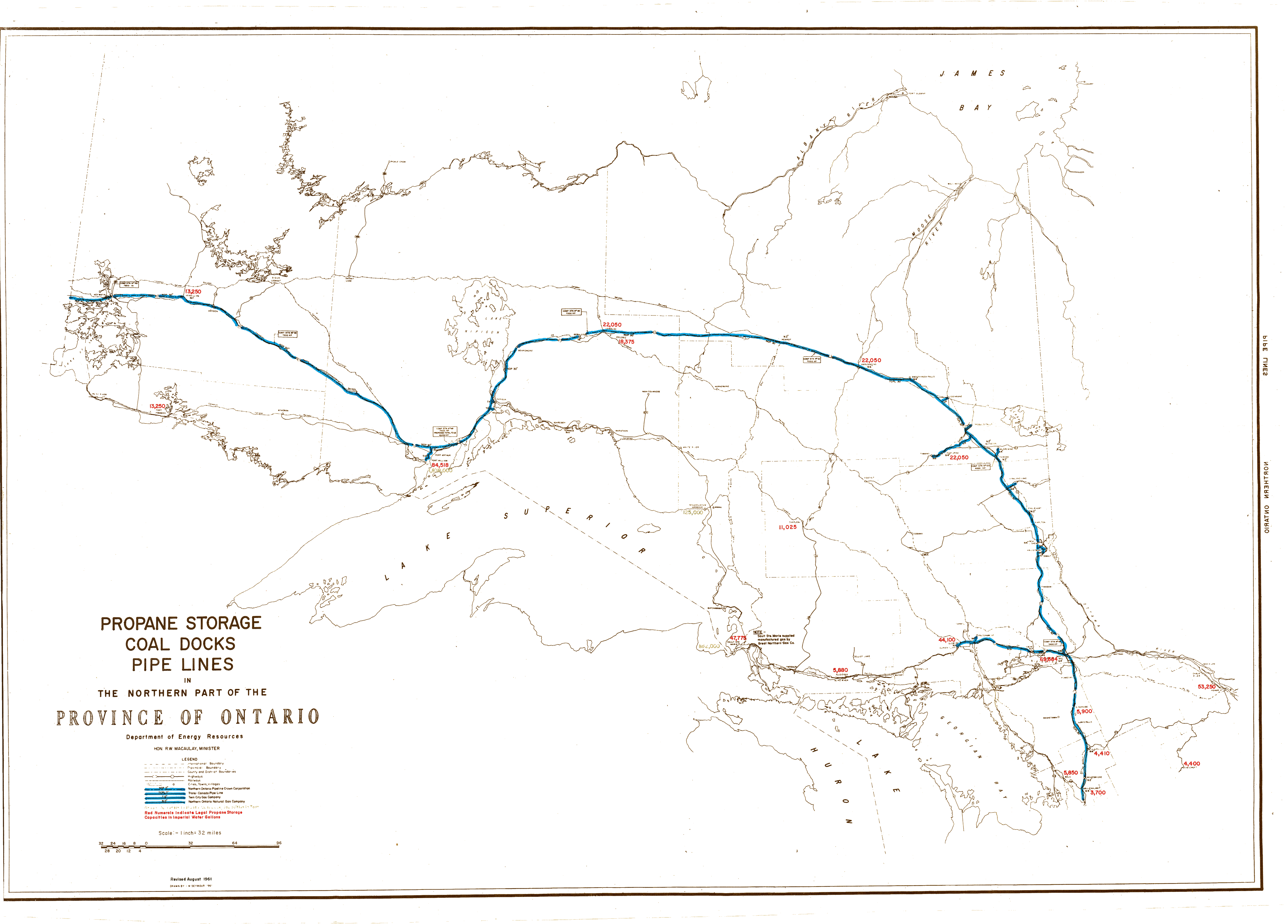
| Map Title | Propane Storage Coal Docks Pipe Lines in the Northern Part of the Province of Ontario |
| Front/Back | Front |
| Blank | No |
| Physical Location | MAPH |
| Cartographer | M. Seymour |
| Publisher | Department of Energy Resources |
| Date | 1961-08-01 |
| Copyright Holder | Government |
| Map Type | Resource |
| Continent | North America |
| Country | Canada |
| State | Ontario |
| County | |
| Township | |
| Municipality | |
| Lat Ne | 52.888695 |
| Long Ne | -77.015902 |
| Lat Sw | 44.203248 |
| Long Sw | -93.518815 |
| Map Scale Text | 1 inch: 32 miles |
| Map Scale Ratio | 1:2,000,000 |
| Quality Score | 2 |
| Documentation Score | 2 |
| Georeference Algorithm | |
| Well Points | No |
| Notes | A map of pipe lines across the northern part of Ontario. |