No data to produce midpoint map.
| Filename | Brittain_MAPH_199_2018-08-07_1 |
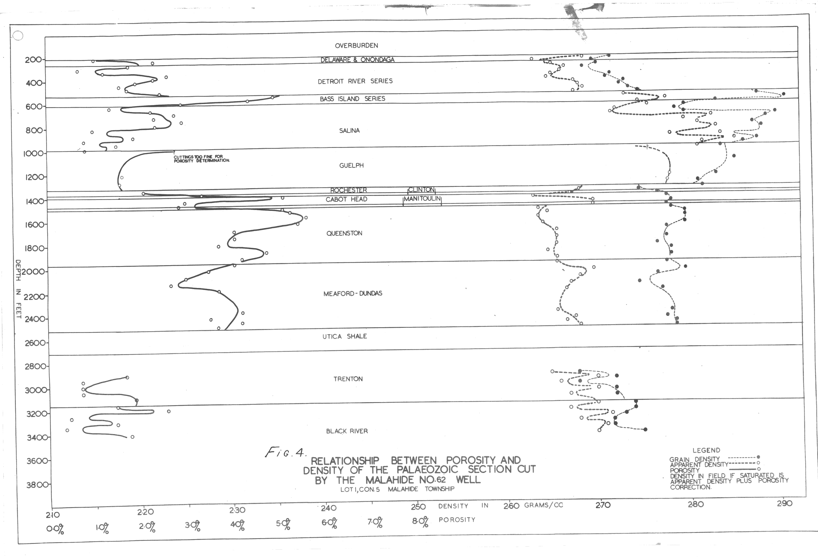
| Map Title | Relationship Between Porosity and Density of the Paleozoic Section Cut by the Malahide No. 62 Well |
| Front/Back | Front |
| Blank | No |
| Physical Location | MAPH |
| Cartographer | |
| Publisher | |
| Date | |
| Copyright Holder | |
| Map Type | Resource |
| Continent | North America |
| Country | Canada |
| State | Ontario |
| County | Elgin |
| Township | Malahide |
| Municipality | |
| Lat Ne | |
| Long Ne | |
| Lat Sw | |
| Long Sw | |
| Map Scale Text | |
| Map Scale Ratio | |
| Quality Score | 2 |
| Documentation Score | 2 |
| Georeference Algorithm | |
| Well Points | No |
| Notes | A diagram of the relationship between porosity and density of the Paleozoic section cut by the Malahide no. 62 well (lot 1, concession V) showing grain and apparent density with porosity. |