| Filename | Brittain_MAPH_19_2018-08-01_1 |
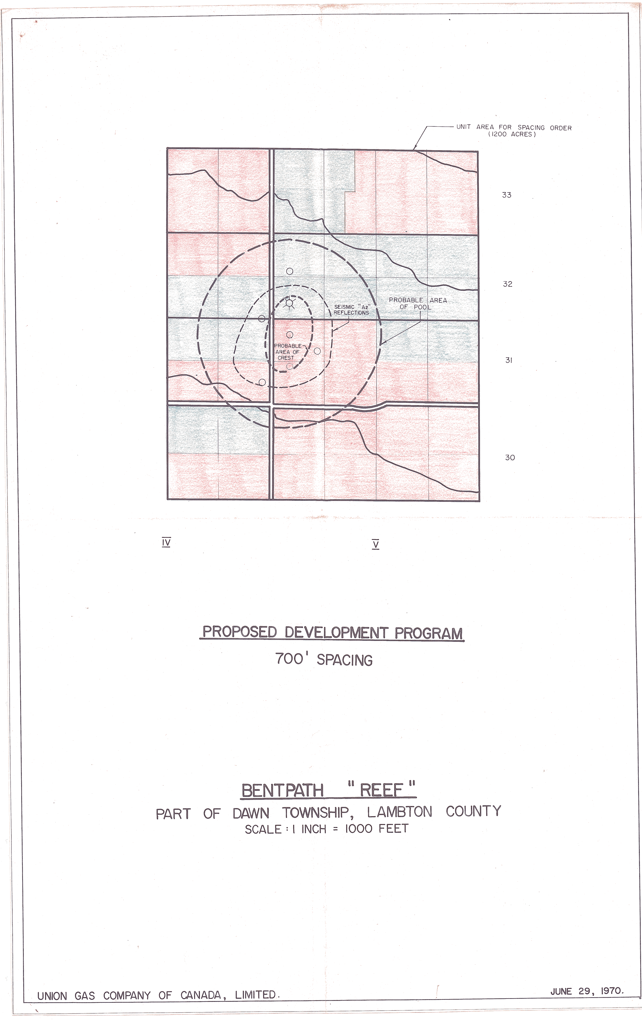
| Map Title | Bentpath \'Reef\' Proposed Development Program |
| Front/Back | Front |
| Blank | No |
| Physical Location | MAPH |
| Cartographer | Union Gas Company of Canada Ltd |
| Publisher | Union Gas Company of Canada, Limited |
| Date | 1970-06-29 |
| Copyright Holder | Private |
| Map Type | Resource |
| Continent | North America |
| Country | Canada |
| State | Ontario |
| County | Lambton |
| Township | Dawn |
| Municipality | |
| Lat Ne | 42.751015 |
| Long Ne | -82.156857 |
| Lat Sw | 42.721443 |
| Long Sw | -82.090374 |
| Map Scale Text | 1 inch: 1000 feet |
| Map Scale Ratio | 1:12,000 |
| Quality Score | 2 |
| Documentation Score | 2 |
| Georeference Algorithm | |
| Well Points | Yes |
| Notes | A coloured map of the proposed boundaries of the Bentpath reef showing profitable areas. |