| Filename | Brittain_MAPH_189_2018-08-07_1 |
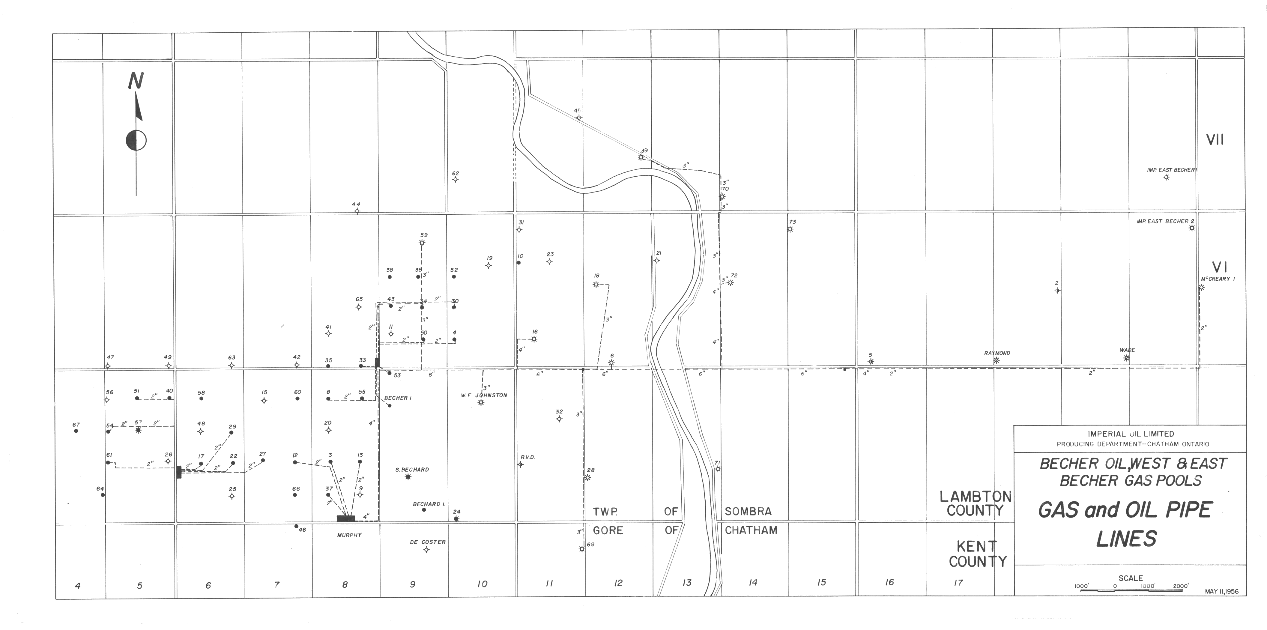
| Map Title | Becher Oil, West and East Becher Gas Pools |
| Front/Back | Front |
| Blank | No |
| Physical Location | MAPH |
| Cartographer | Imperial Oil Limited Producing Department |
| Publisher | Imperial Oil Limited Producing Department |
| Date | 1956-05-11 |
| Copyright Holder | Private |
| Map Type | Resource |
| Continent | North America |
| Country | Canada |
| State | Ontario |
| County | |
| Township | |
| Municipality | |
| Lat Ne | 42.661761 |
| Long Ne | -82.317025 |
| Lat Sw | 42.604281 |
| Long Sw | -82.447553 |
| Map Scale Text | 1:1000 feet |
| Map Scale Ratio | 1:12,000 |
| Quality Score | 2 |
| Documentation Score | 2 |
| Georeference Algorithm | |
| Well Points | Yes |
| Notes | A map showing gas and oil pipe lines in the Becher Oil, West and East Becher Gas Pools. |