| Filename | Brittain_MAPH_187_2018-08-07_1 |
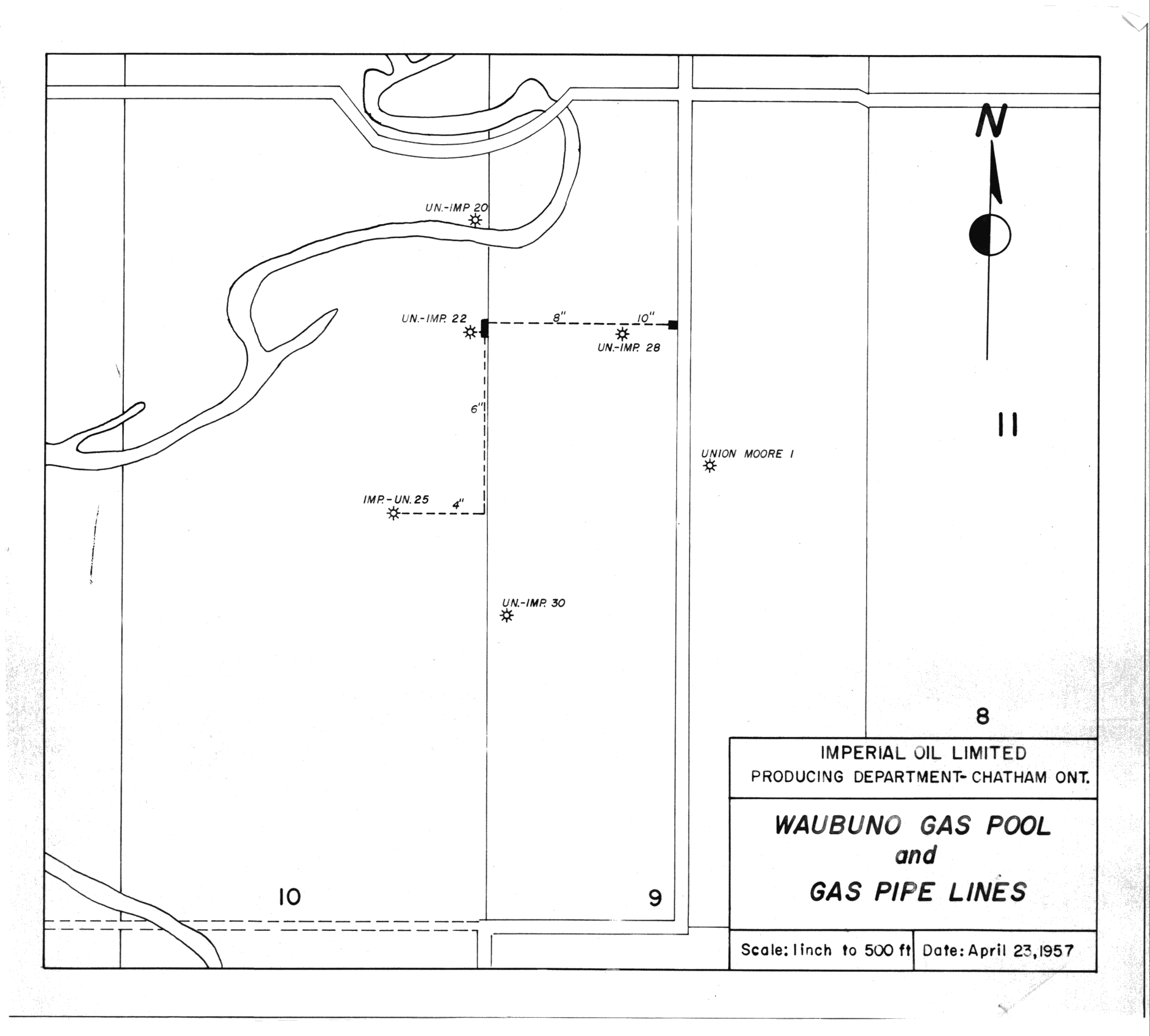
| Map Title | Waubuno Gas Pool and Gas Pipe Lines |
| Front/Back | Front |
| Blank | No |
| Physical Location | MAPH |
| Cartographer | Imperial Oil Limited Producing Department |
| Publisher | Imperial Oil Limited Producing Department |
| Date | 1957-04-23 |
| Copyright Holder | Private |
| Map Type | Resource |
| Continent | North America |
| Country | Canada |
| State | Ontario |
| County | |
| Township | |
| Municipality | |
| Lat Ne | 42.787313 |
| Long Ne | -82.294862 |
| Lat Sw | 42.775601 |
| Long Sw | -82.314361 |
| Map Scale Text | 1 inch: 500 feet |
| Map Scale Ratio | 1:6,000 |
| Quality Score | 2 |
| Documentation Score | 2 |
| Georeference Algorithm | |
| Well Points | Yes |
| Notes | A map showing wells in the Waubuno Gas Pool and Gas Pipe Lines. |