| Filename | Brittain_MAPH_186_2018-08-07_1 |
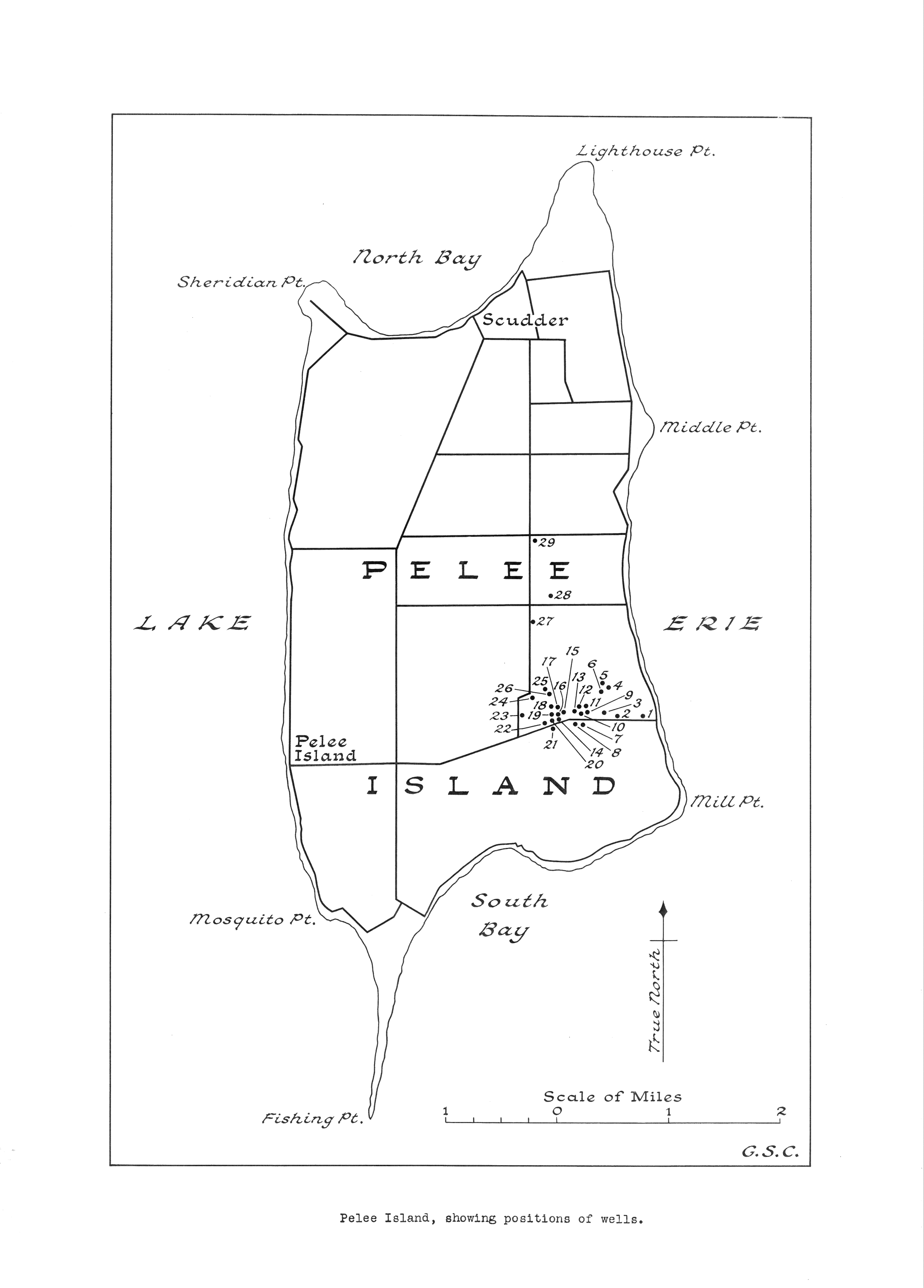
| Map Title | Pelee Island with Well Positions |
| Front/Back | Front |
| Blank | No |
| Physical Location | MAPH |
| Cartographer | |
| Publisher | |
| Date | |
| Copyright Holder | Private |
| Map Type | Resource |
| Continent | North America |
| Country | Canada |
| State | Ontario |
| County | |
| Township | |
| Municipality | |
| Lat Ne | 41.828424 |
| Long Ne | -82.596169 |
| Lat Sw | 41.708572 |
| Long Sw | -82.734882 |
| Map Scale Text | 1 inch: 1 mile |
| Map Scale Ratio | 1:63,360 |
| Quality Score | 2 |
| Documentation Score | 2 |
| Georeference Algorithm | |
| Well Points | Yes |
| Notes | A map showing Pelee Island with well locations. |