| Filename | Brittain_MAPH_182_2018-08-07_1 |
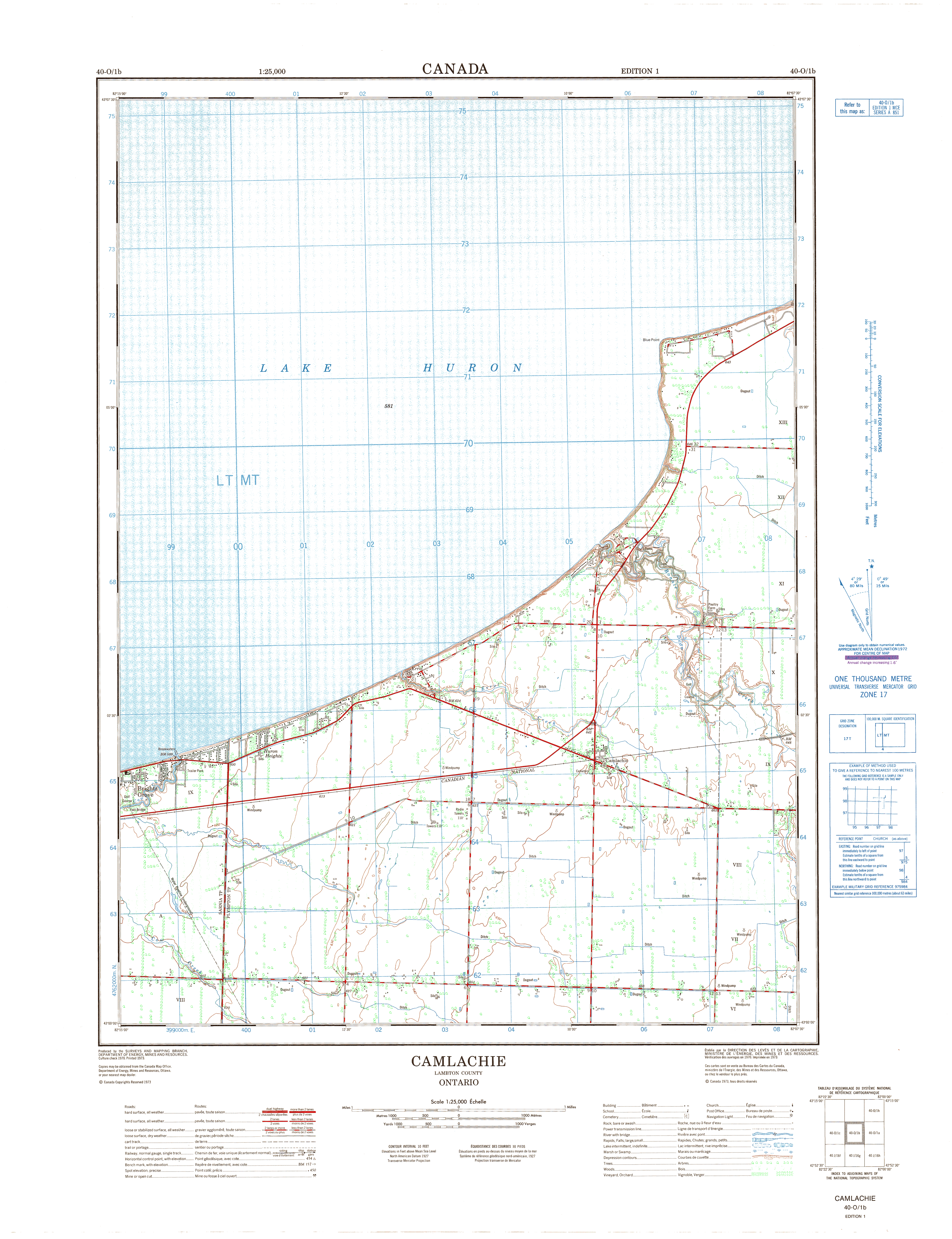
| Map Title | Camlachie, Ontario |
| Front/Back | Front |
| Blank | No |
| Physical Location | MAPH |
| Cartographer | Department of Energy, Mines and Resources |
| Publisher | Department of Energy, Mines and Resources |
| Date | 1973-01-01 |
| Copyright Holder | Government |
| Map Type | Topographic |
| Continent | North America |
| Country | Canada |
| State | Ontario |
| County | Lambton |
| Township | |
| Municipality | |
| Lat Ne | 43.131273 |
| Long Ne | -82.125334 |
| Lat Sw | 43.007649 |
| Long Sw | -82.255353 |
| Map Scale Text | |
| Map Scale Ratio | 1:25,000 |
| Quality Score | 2 |
| Documentation Score | 2 |
| Georeference Algorithm | |
| Well Points | No |
| Notes | A map of Camlachie, Ontario. |