| Filename | Brittain_MAPH_157_2018-08-07_1 |
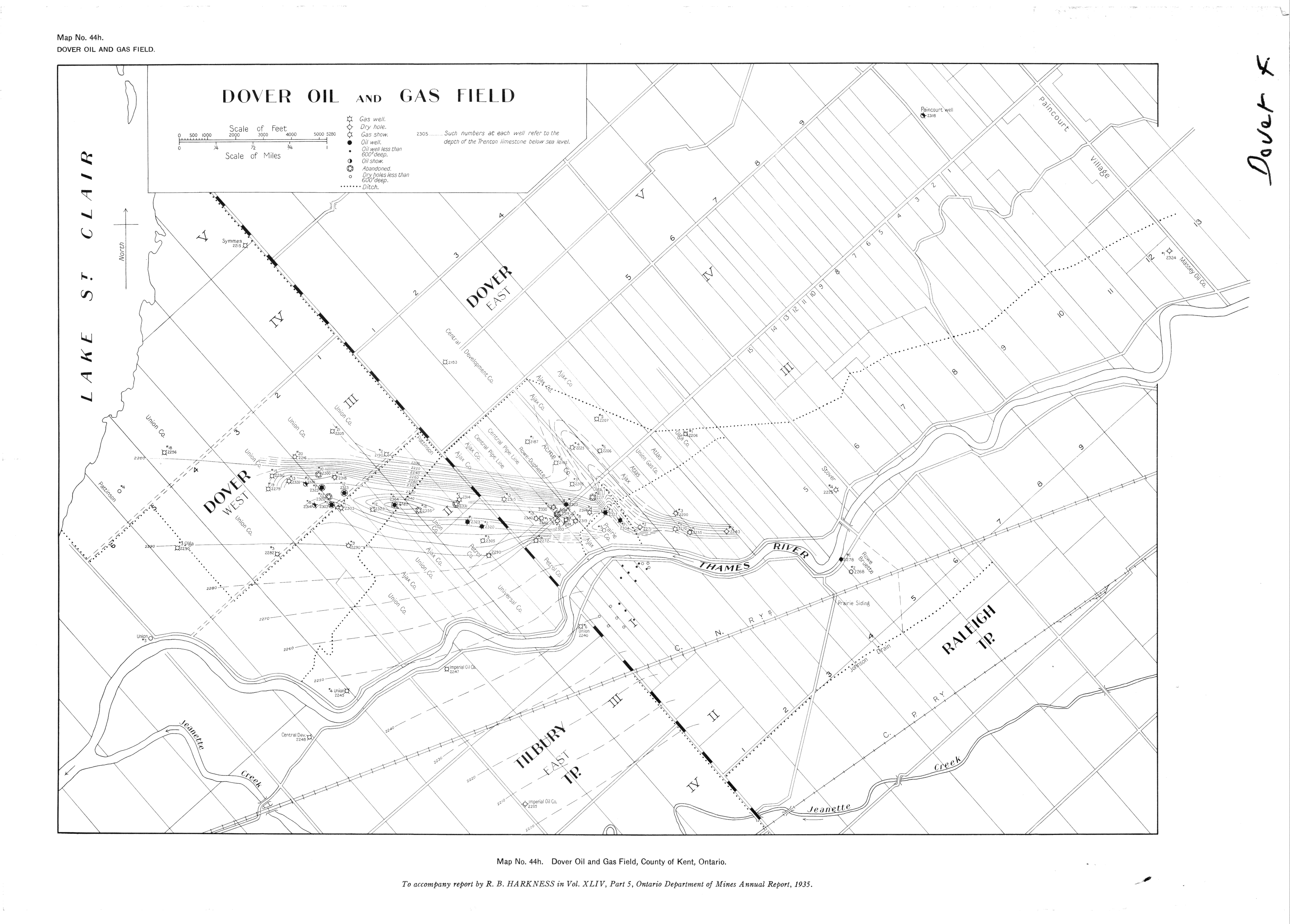
| Map Title | Dover Oil and Gas Field |
| Front/Back | Front |
| Blank | No |
| Physical Location | MAPH |
| Cartographer | Ontario Department of Mines |
| Publisher | Ontario Department of Mines |
| Date | 1935-01-01 |
| Copyright Holder | Government |
| Map Type | Resource |
| Continent | North America |
| Country | Canada |
| State | Ontario |
| County | Kent |
| Township | |
| Municipality | |
| Lat Ne | 42.417225 |
| Long Ne | -82.253546 |
| Lat Sw | 42.302401 |
| Long Sw | -82.454012 |
| Map Scale Text | 1 inch: 1/2 mile |
| Map Scale Ratio | 1:31,680 |
| Quality Score | 2 |
| Documentation Score | 2 |
| Georeference Algorithm | |
| Well Points | Yes |
| Notes | A map of the Dover Oil and Gas Field with well points and contours, accompanying an Ontario Department of Mines annual report from 1935. |