| Filename | Brittain_MAPFC_459_2018-08-10_1 |
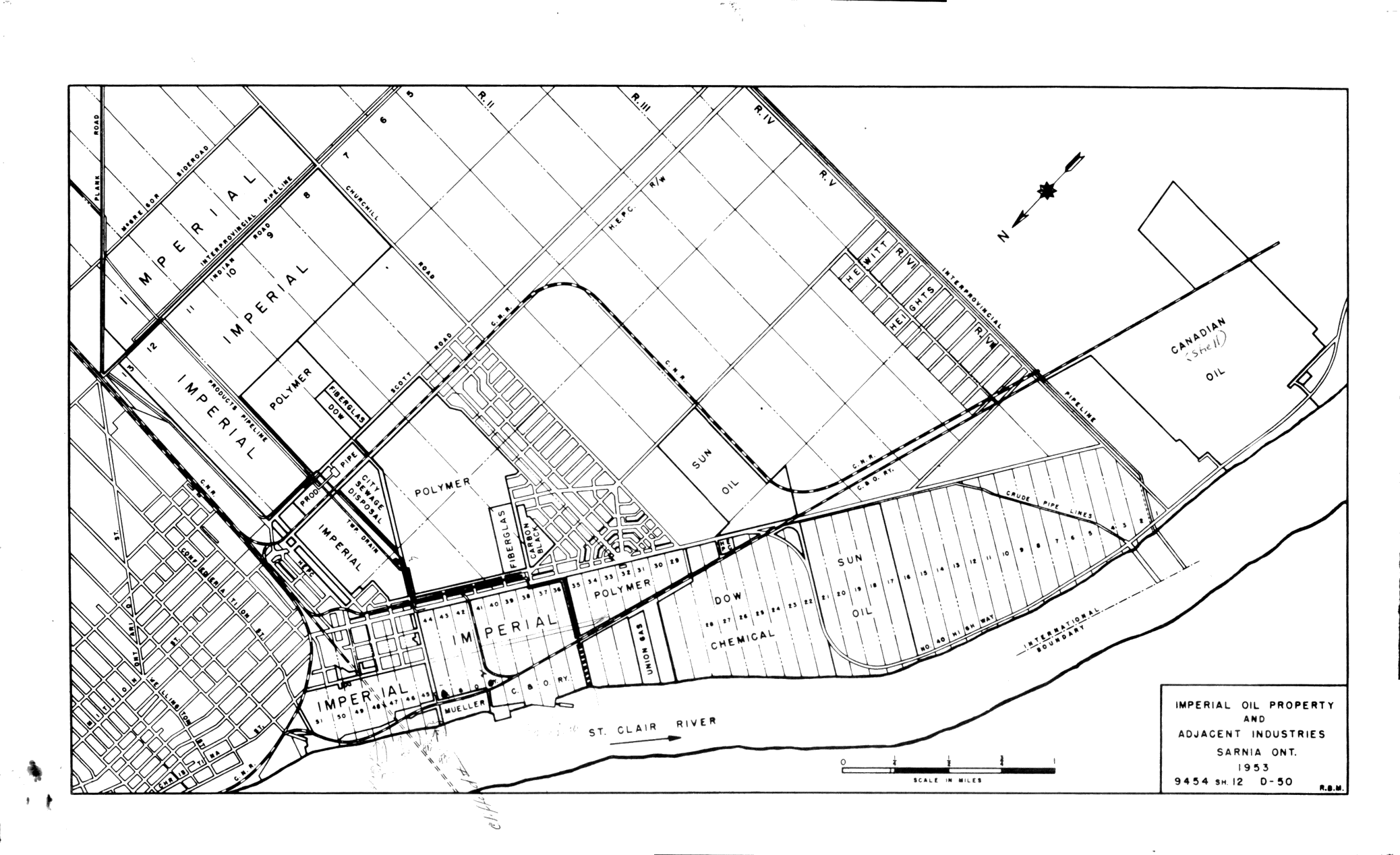
| Map Title | Imperial Oil Property and Adjacent Industries, Sarnia Ont. |
| Front/Back | Front |
| Blank | No |
| Physical Location | MAPFC |
| Cartographer | R. B. M. |
| Publisher | |
| Date | 1953-01-01 |
| Copyright Holder | Private |
| Map Type | Resource |
| Continent | North America |
| Country | Canada |
| State | Ontario |
| County | |
| Township | |
| Municipality | |
| Lat Ne | 42.877955 |
| Long Ne | -82.43125 |
| Lat Sw | 42.975423 |
| Long Sw | -82.410341 |
| Map Scale Text | |
| Map Scale Ratio | |
| Quality Score | 2 |
| Documentation Score | 2 |
| Georeference Algorithm | |
| Well Points | No |
| Notes | A map showing Imperial Oil property and adjacent industries in Sarnia, Ontario. |