| Filename | Brittain_MAPFC_458_2018-08-10_1 |
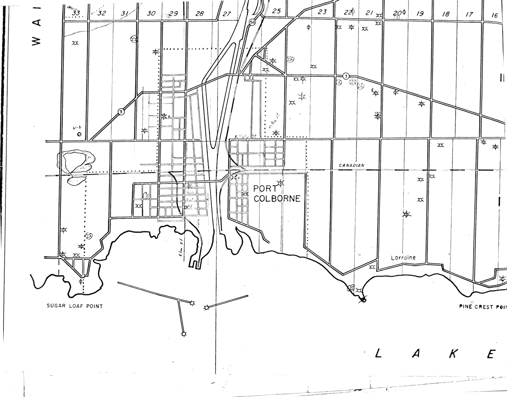
| Map Title | Unlabelled Map (Port Colborne) |
| Front/Back | Front |
| Blank | No |
| Physical Location | MAPFC |
| Cartographer | |
| Publisher | |
| Date | |
| Copyright Holder | Private |
| Map Type | Resource |
| Continent | North America |
| Country | Canada |
| State | Ontario |
| County | |
| Township | |
| Municipality | |
| Lat Ne | 42.910694 |
| Long Ne | -79.188592 |
| Lat Sw | 42.861329 |
| Long Sw | -79.286985 |
| Map Scale Text | |
| Map Scale Ratio | |
| Quality Score | 2 |
| Documentation Score | 2 |
| Georeference Algorithm | |
| Well Points | Yes |
| Notes | A map of Port Colborne, Ontario, showing well points. |