| Filename | Brittain_MAPFC_454_2018-08-10_1 |
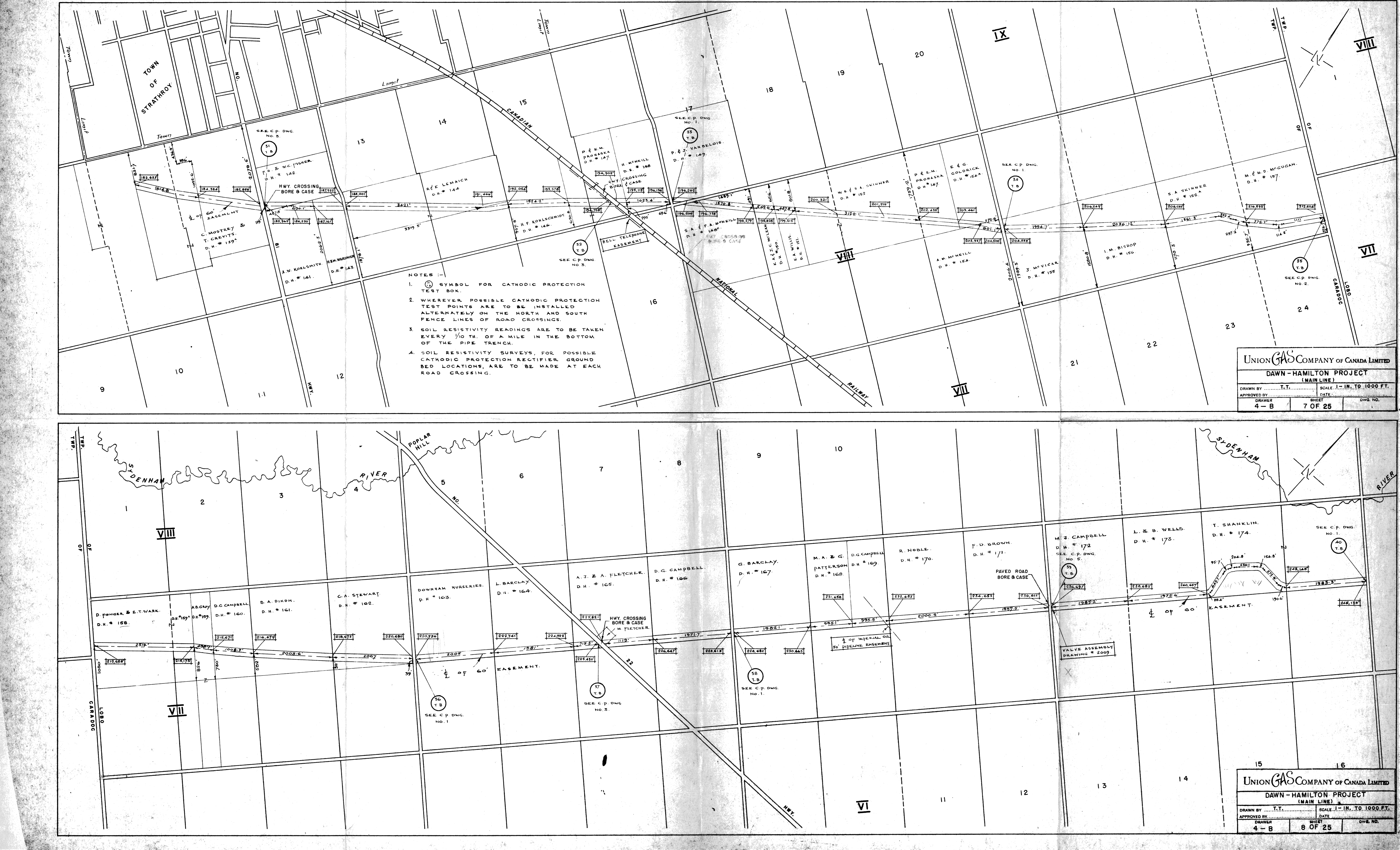
| Map Title | Dawn-Hamilton Project (Main Line) |
| Front/Back | Front |
| Blank | No |
| Physical Location | MAPFC |
| Cartographer | T. T. |
| Publisher | Union Gas Company of Canada, Limited |
| Date | |
| Copyright Holder | Private |
| Map Type | Resource |
| Continent | North America |
| Country | Canada |
| State | Ontario |
| County | |
| Township | |
| Municipality | |
| Lat Ne | 43.054143 |
| Long Ne | -81.449008 |
| Lat Sw | 42.93172 |
| Long Sw | -81.644545 |
| Map Scale Text | 1 inch: 1000 feet |
| Map Scale Ratio | 1:12,000 |
| Quality Score | 2 |
| Documentation Score | 3 |
| Georeference Algorithm | |
| Well Points | No |
| Notes | A map showing two sections of the main line of Union Gas' Dawn-Hamilton project. |