Map midpoint:
| Filename | Brittain_MAPFC_450_2018-06-27_1 |
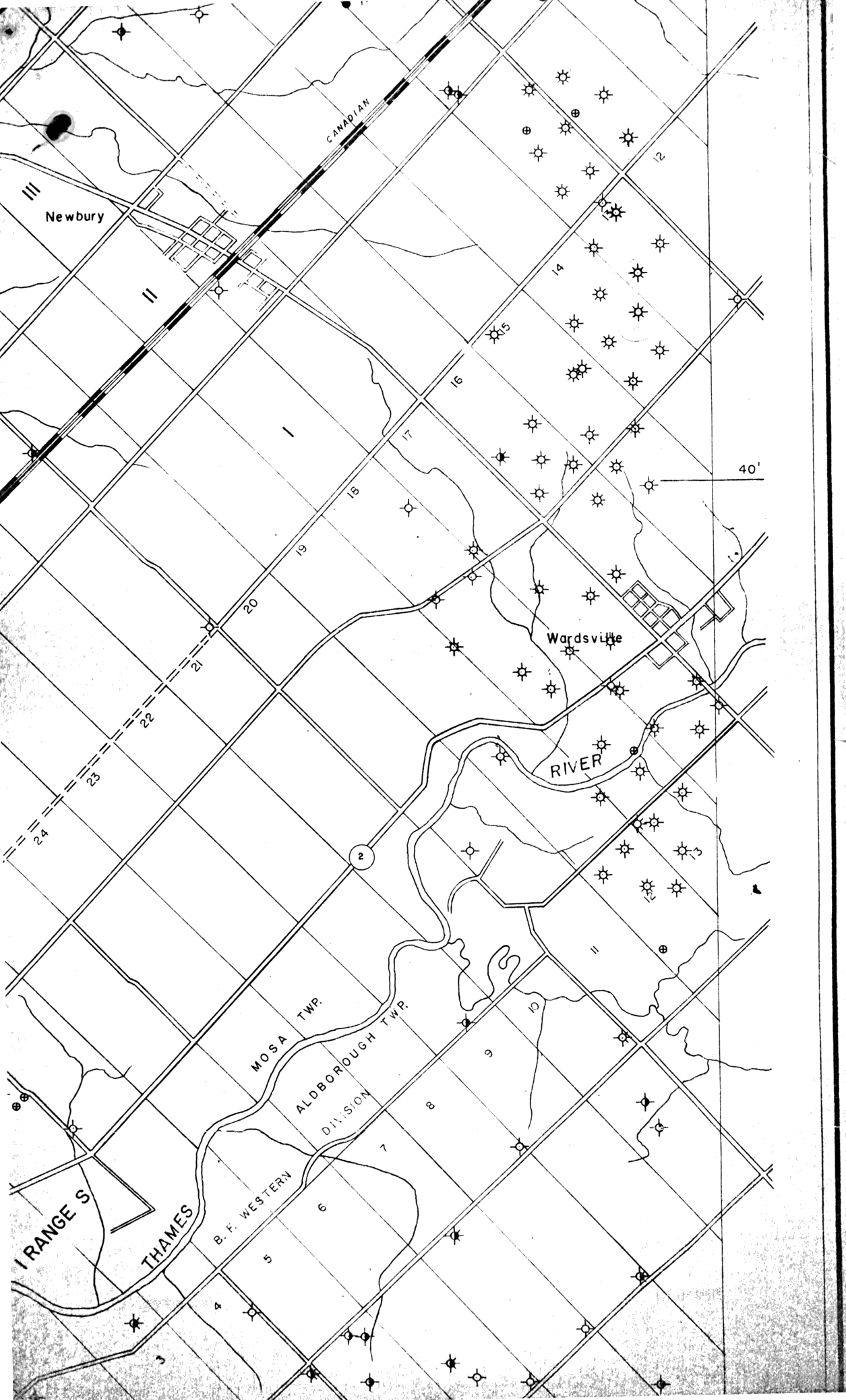
| Map Title | Unlabelled Map showing Well Points |
| Front/Back | Front |
| Blank | No |
| Physical Location | MAPFC |
| Cartographer | |
| Publisher | |
| Date | |
| Copyright Holder | Private |
| Map Type | Resource |
| Continent | North America |
| Country | Canada |
| State | Ontario |
| County | |
| Township | Mosa |
| Municipality | |
| Lat Ne | 42.699166 |
| Long Ne | -81.745862 |
| Lat Sw | 42.597704 |
| Long Sw | -81.81937 |
| Map Scale Text | |
| Map Scale Ratio | |
| Quality Score | 2 |
| Documentation Score | 3 |
| Georeference Algorithm | |
| Well Points | Yes |
| Notes | A unlabelled map showing well points, lots, and concessions in Mosa and Aldborough Townships along the Thames River. |