| Filename | Brittain_MAPFC_247_2018-08-08_1 |
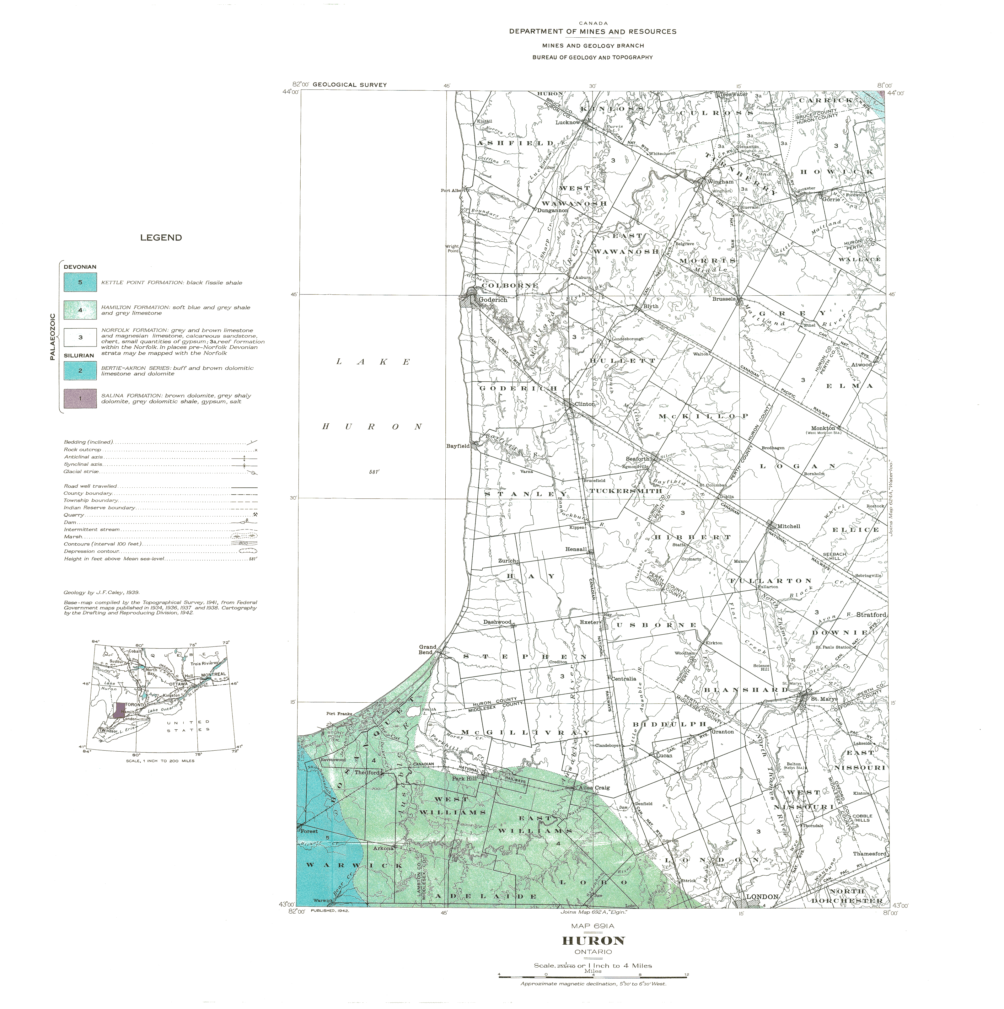
| Map Title | Huron - Map No. 691A |
| Front/Back | Front |
| Blank | No |
| Physical Location | MAPFC |
| Cartographer | Department of Mines and Resources |
| Publisher | Department of Mines and Resources |
| Date | 1942-01-01 |
| Copyright Holder | Government |
| Map Type | Resource |
| Continent | North America |
| Country | Canada |
| State | Ontario |
| County | Huron |
| Township | |
| Municipality | |
| Lat Ne | 43.984148 |
| Long Ne | -81.0072 |
| Lat Sw | 43.004109 |
| Long Sw | -81.94173 |
| Map Scale Text | 1 inch: 4 miles |
| Map Scale Ratio | 1:253,440 |
| Quality Score | 2 |
| Documentation Score | 2 |
| Georeference Algorithm | |
| Well Points | No |
| Notes | A map showing the geology of the Huron area. |