| Filename | Brittain_MAPFC_240_2018-08-07_1 |
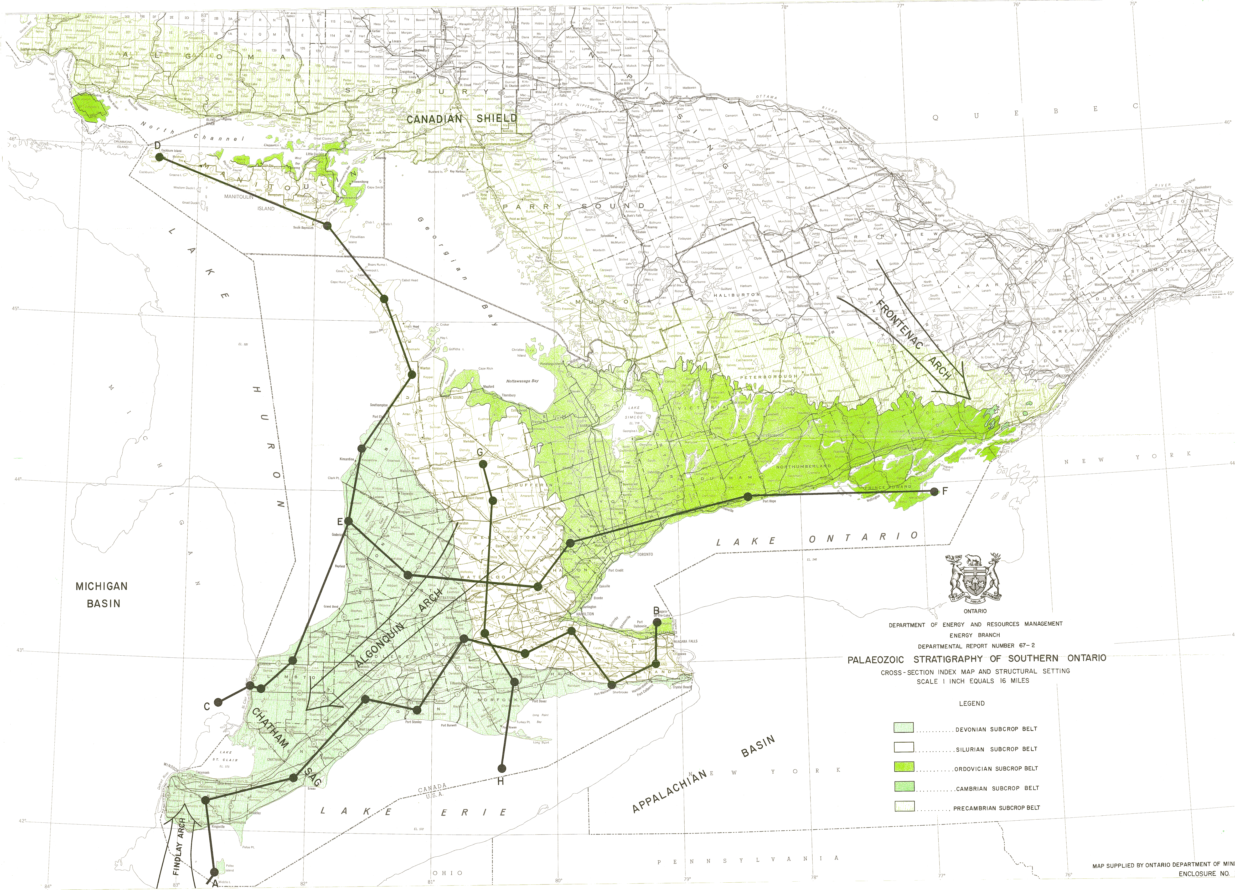
| Map Title | Paleozoic Stratigraphy of Southern Ontario - Cross Section Index Map and Structural Setting |
| Front/Back | Front |
| Blank | No |
| Physical Location | MAPFC |
| Cartographer | Department of Energy and Resource Management |
| Publisher | Department of Energy and Resources Management |
| Date | |
| Copyright Holder | Government |
| Map Type | Resource |
| Continent | North America |
| Country | Canada |
| State | Ontario |
| County | |
| Township | |
| Municipality | |
| Lat Ne | 46.798826 |
| Long Ne | -73.535546 |
| Lat Sw | 41.823219 |
| Long Sw | -85.12921 |
| Map Scale Text | 1 inch: 16 miles |
| Map Scale Ratio | 1:1,013,760 |
| Quality Score | 2 |
| Documentation Score | 2 |
| Georeference Algorithm | |
| Well Points | No |
| Notes | A map with a description of cross section locations. |