| Filename | Brittain_MAPFC_227_2018-08-07_1 |
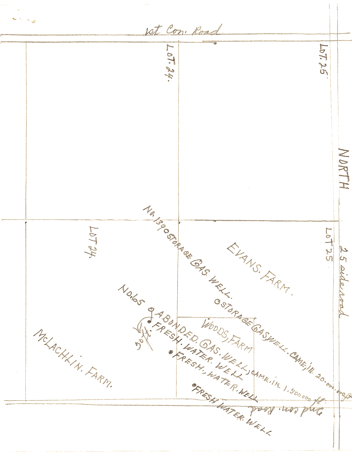
| Map Title | Unlabelled map (Evans and McLachlin Farms) |
| Front/Back | Front |
| Blank | No |
| Physical Location | MAPFC |
| Cartographer | |
| Publisher | |
| Date | |
| Copyright Holder | |
| Map Type | Resource |
| Continent | North America |
| Country | Canada |
| State | Ontario |
| County | |
| Township | |
| Municipality | |
| Lat Ne | 42.71348 |
| Long Ne | -82.22538 |
| Lat Sw | 42.702035 |
| Long Sw | -82.209032 |
| Map Scale Text | |
| Map Scale Ratio | |
| Quality Score | 2 |
| Documentation Score | 1 |
| Georeference Algorithm | |
| Well Points | Yes |
| Notes | A hand-drawn map of Evan's farm with locations of freshwater wells and gas wells. |