| Filename | Brittain_MAPFC_224_2018-08-07_1 |
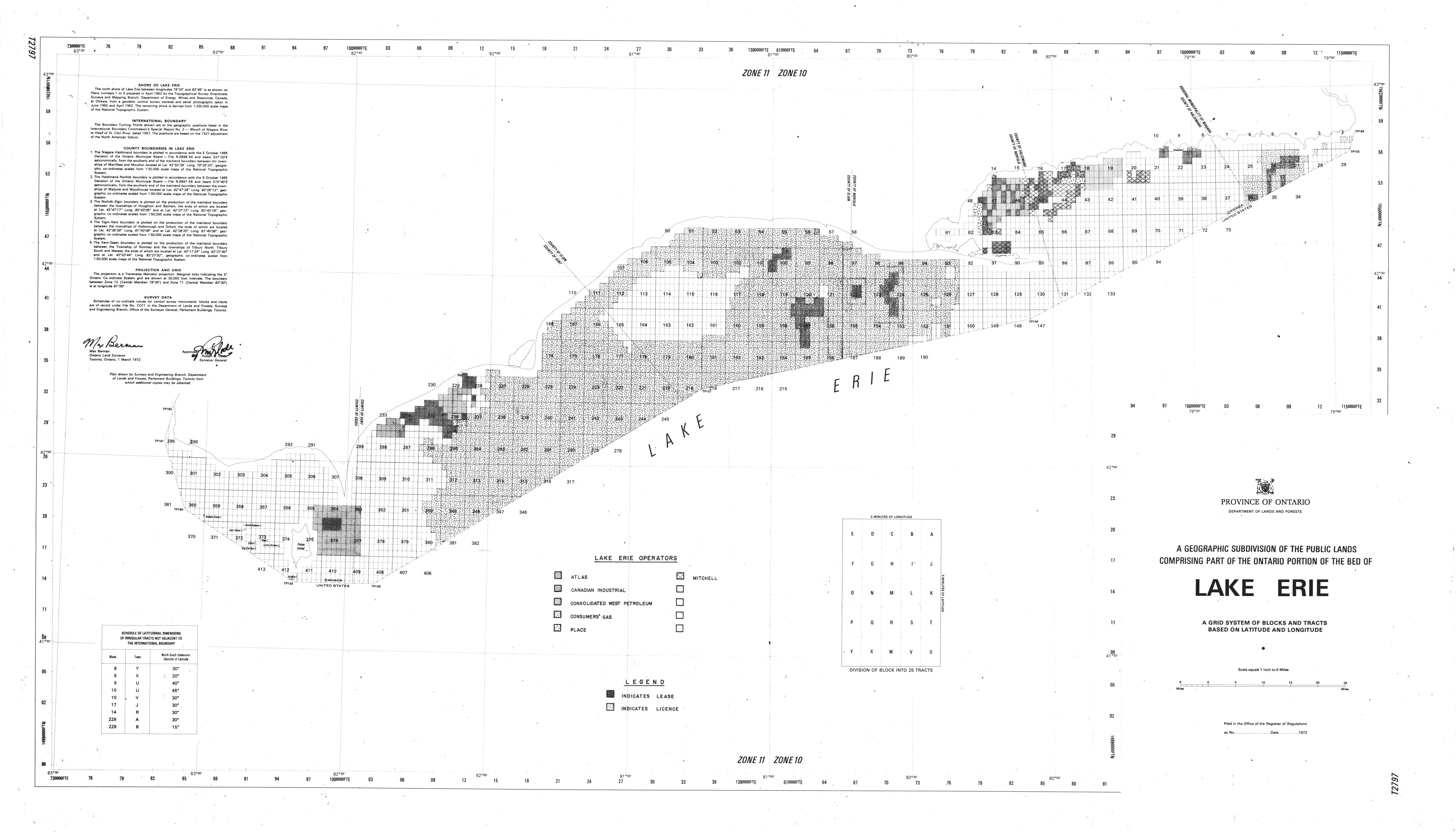
| Map Title | A Geographic Subdivision of the Public Lands Comprising Part of the Ontario Potion of the Bed of Lake Erie |
| Front/Back | Front |
| Blank | No |
| Physical Location | MAPFC |
| Cartographer | Department of Lands and Forests |
| Publisher | Department of Lands and Forests |
| Date | 1972-01-01 |
| Copyright Holder | Government |
| Map Type | Political |
| Continent | North America |
| Country | Canada |
| State | Ontario |
| County | |
| Township | |
| Municipality | |
| Lat Ne | 42.947896 |
| Long Ne | -78.715791 |
| Lat Sw | 40.86013 |
| Long Sw | -84.213174 |
| Map Scale Text | |
| Map Scale Ratio | |
| Quality Score | 2 |
| Documentation Score | 1 |
| Georeference Algorithm | |
| Well Points | No |
| Notes | A map of Lake Erie and public land boundaries. |