| Filename | Brittain_MAPFC_216_2018-08-07_1 |
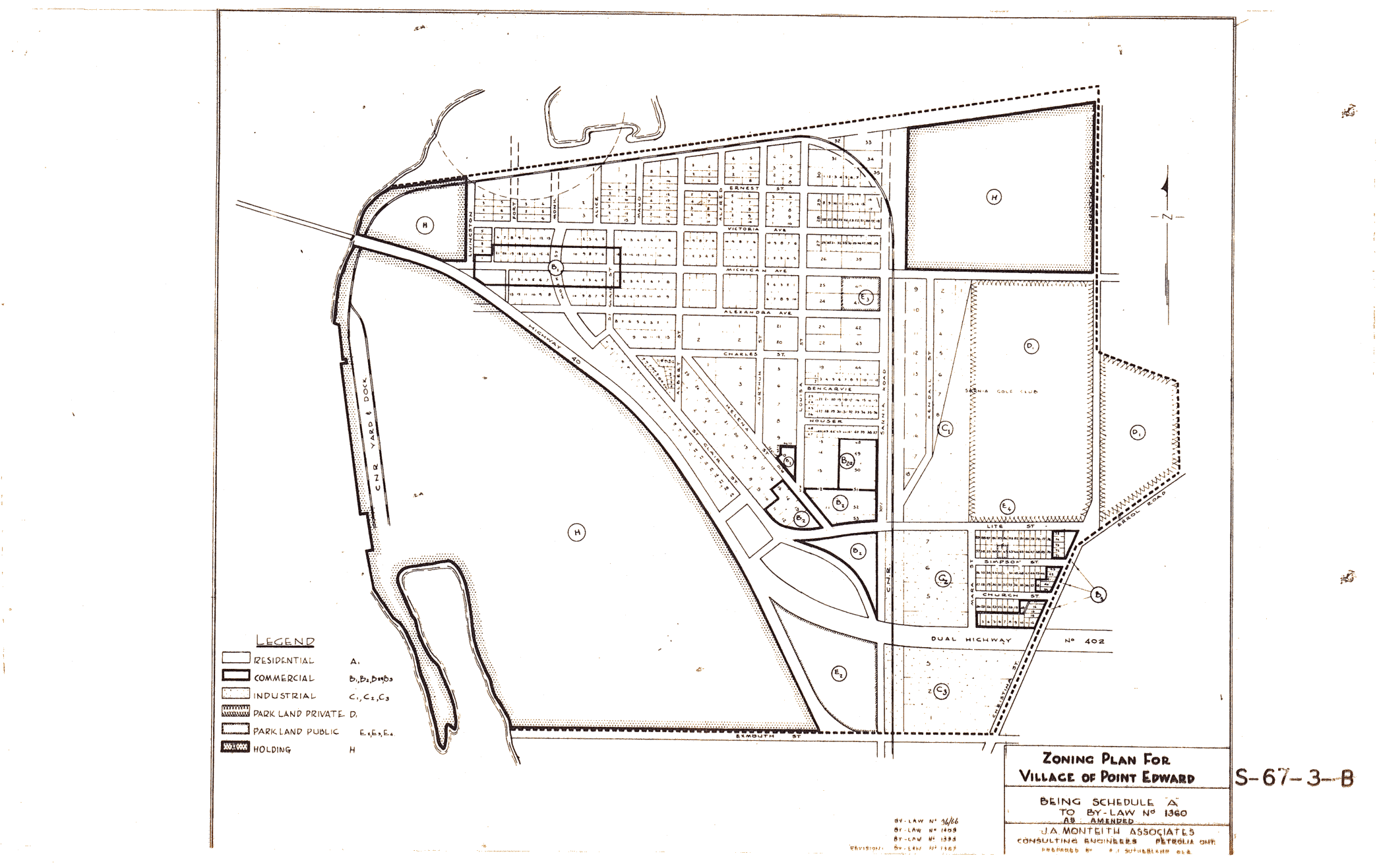
| Map Title | Zoning Plan for Village of Point Edward |
| Front/Back | Front |
| Blank | No |
| Physical Location | MAPFC |
| Cartographer | B.J. Sutherland |
| Publisher | J.A Monteith Associates |
| Date | |
| Copyright Holder | Private |
| Map Type | Political |
| Continent | North America |
| Country | Canada |
| State | Ontario |
| County | |
| Township | |
| Municipality | |
| Lat Ne | 43.002823 |
| Long Ne | -82.39193 |
| Lat Sw | 42.984739 |
| Long Sw | -82.425847 |
| Map Scale Text | |
| Map Scale Ratio | |
| Quality Score | 2 |
| Documentation Score | 1 |
| Georeference Algorithm | |
| Well Points | No |
| Notes | A zoning Plan for the Village of Point Edward, by-law no 1360. |