|
Filename
|
Brittain_MAPVFC_262_2018-08-08_1 |
|
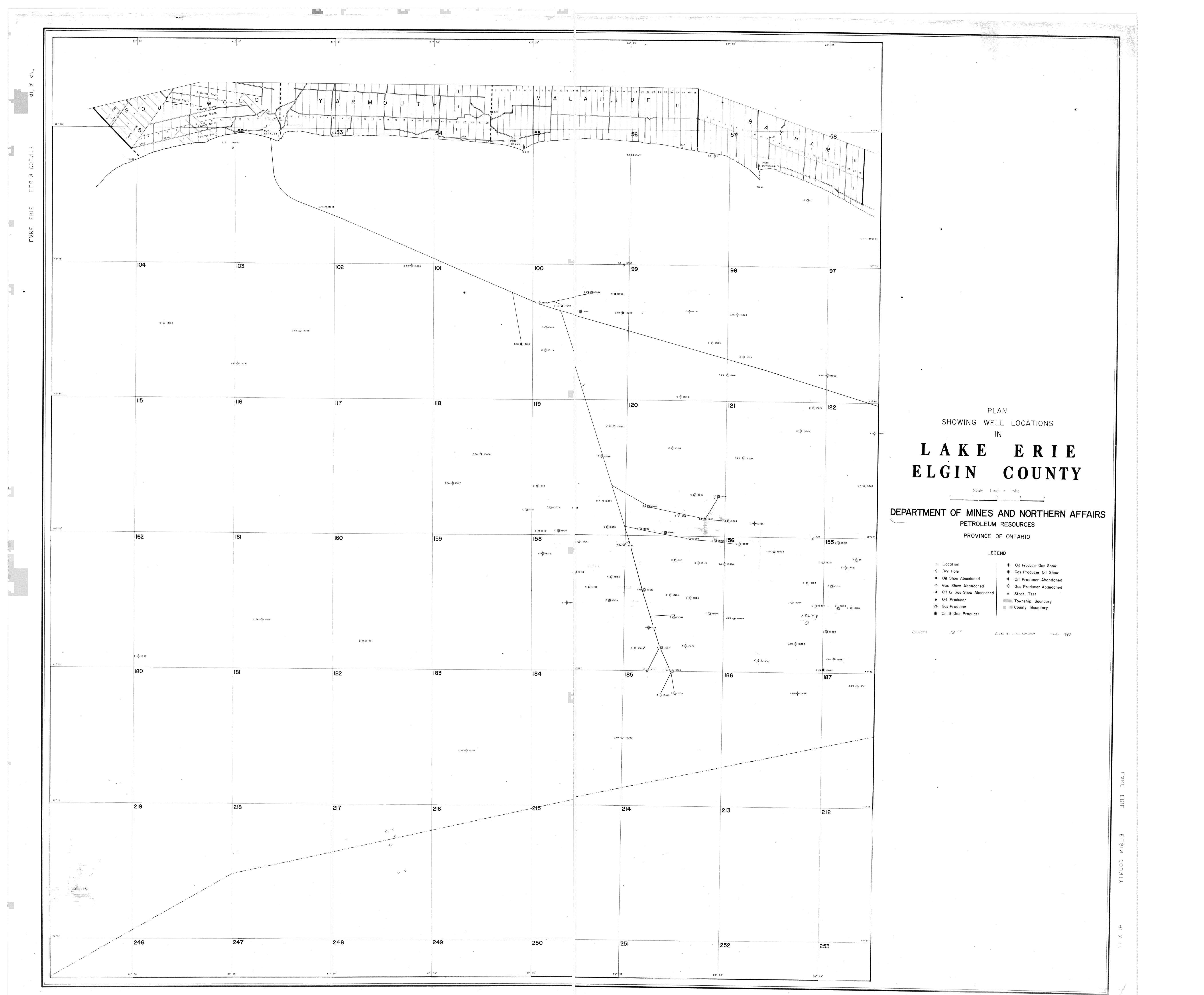
Map Title |
Plan Showing Well Locations in Lake Erie - Elgin County |
|
Front/Back |
Front |
|
Blank
|
No |
|
Physical Location |
MAPVFC |
|
Cartographer
|
Boris Dimitroff |
|
Publisher
|
Department of Mines and Northern Affairs |
|
Date
|
1962-10-01 |
|
Copyright Holder |
Government |
|
Map Type |
Resource |
|
Continent
|
North America |
|
Country
|
Canada |
|
State
|
Ontario |
|
County
|
Elgin |
|
Township
|
|
|
Municipality
|
|
|
Lat Ne |
42.687591 |
|
Long Ne |
-80.718255 |
|
Lat Sw |
42.172715 |
|
Long Sw |
-81.324082 |
|
Map Scale Text |
1 inch: 1 mile |
|
Map Scale Ratio |
1:63,360 |
|
Quality Score |
2 |
|
Documentation Score |
2 |
|
Georeference Algorithm |
|
|
Well Points |
Yes |
|
Notes
|
A map of Lake Erie, Elgin County, with well points. |