| Filename | Brittain_MAPVFC_258_2018-08-08_1 |
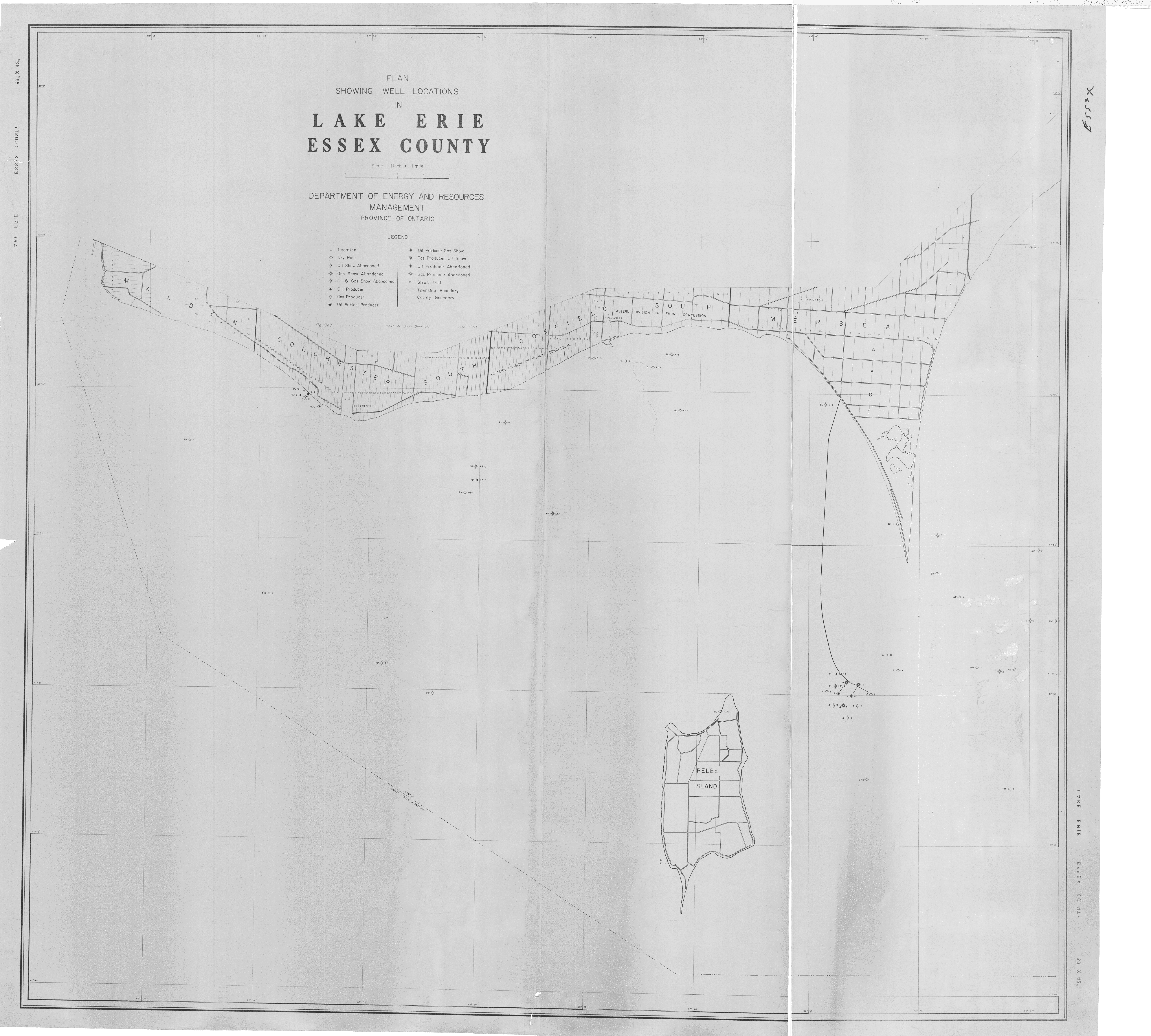
| Map Title | Plan Showing Well Locations in Lake Erie - Essex County |
| Front/Back | Front |
| Blank | No |
| Physical Location | MAPVFC |
| Cartographer | Boris Dimitroff |
| Publisher | Department of Mines and Northern Affairs |
| Date | 1963-06-01 |
| Copyright Holder | Government |
| Map Type | Resource |
| Continent | North America |
| Country | Canada |
| State | Ontario |
| County | Essex |
| Township | |
| Municipality | |
| Lat Ne | 42.114948 |
| Long Ne | -82.430673 |
| Lat Sw | 41.679152 |
| Long Sw | -83.173346 |
| Map Scale Text | 1 inch: 1 mile |
| Map Scale Ratio | 1:63,360 |
| Quality Score | 2 |
| Documentation Score | 2 |
| Georeference Algorithm | |
| Well Points | Yes |
| Notes | A map of Lake Erie, Essex County, with well points. |