| Filename | Brittain_MAPH_99_2018-08-02_1 |
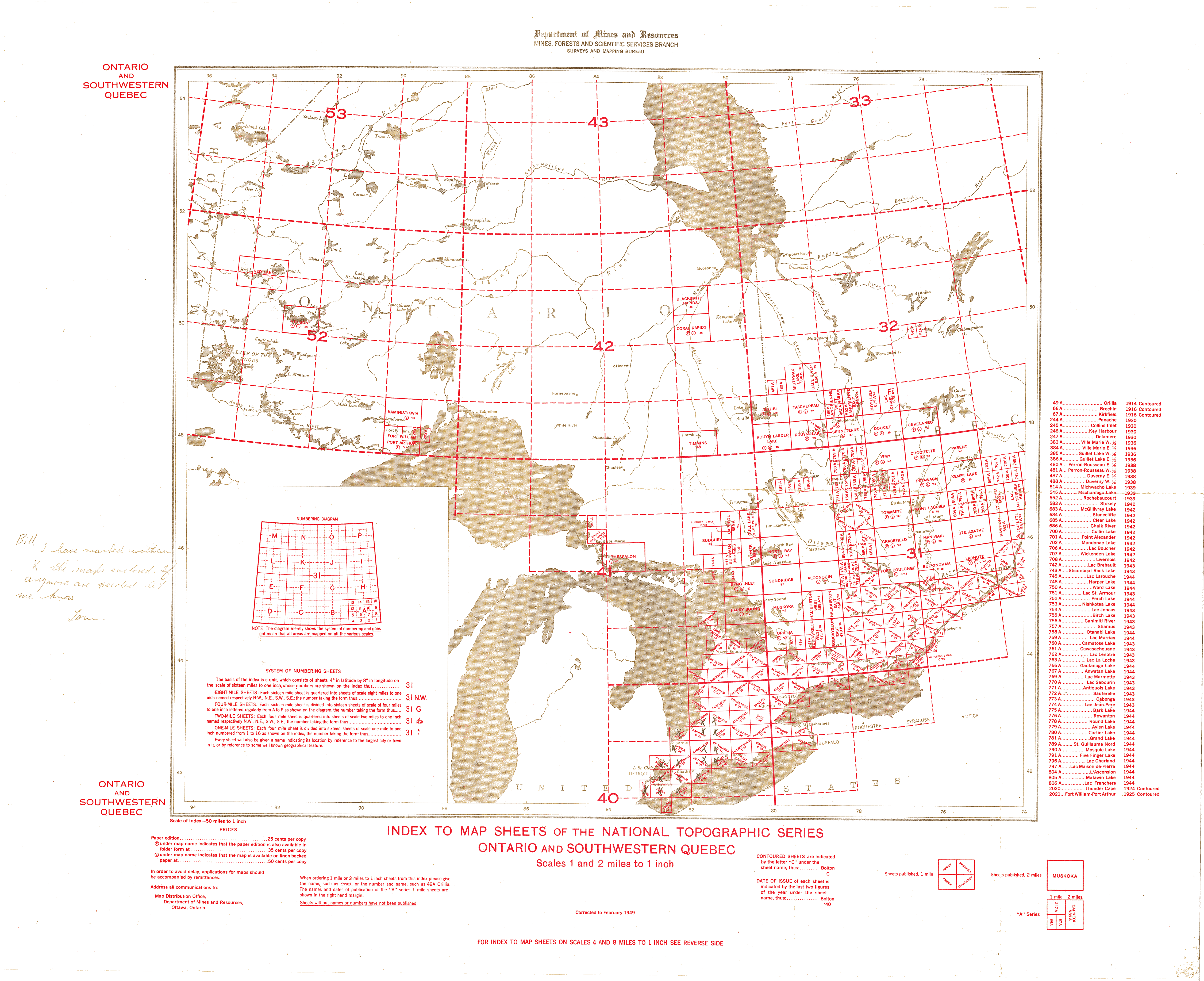
| Map Title | Index to Map Sheets of the National Topographic Series Ontario and Southwestern Quebec |
| Front/Back | Front |
| Blank | No |
| Physical Location | MAPH |
| Cartographer | Department of Mines and Resources |
| Publisher | Department of Mines and Resources |
| Date | 1949-02-01 |
| Copyright Holder | Government |
| Map Type | Political |
| Continent | North America |
| Country | Canada |
| State | |
| County | |
| Township | |
| Municipality | |
| Lat Ne | 52.646178 |
| Long Ne | -71.332678 |
| Lat Sw | 41.416955 |
| Long Sw | -94.911597 |
| Map Scale Text | 1 inch: 50 miles |
| Map Scale Ratio | 1:3,168,000 |
| Quality Score | 2 |
| Documentation Score | 1 |
| Georeference Algorithm | |
| Well Points | No |
| Notes | An index to map sheets of Ontario and Southwestern Quebec with a handwritten note. |