| Filename | Brittain_MAPH_95_2018-08-02_1 |
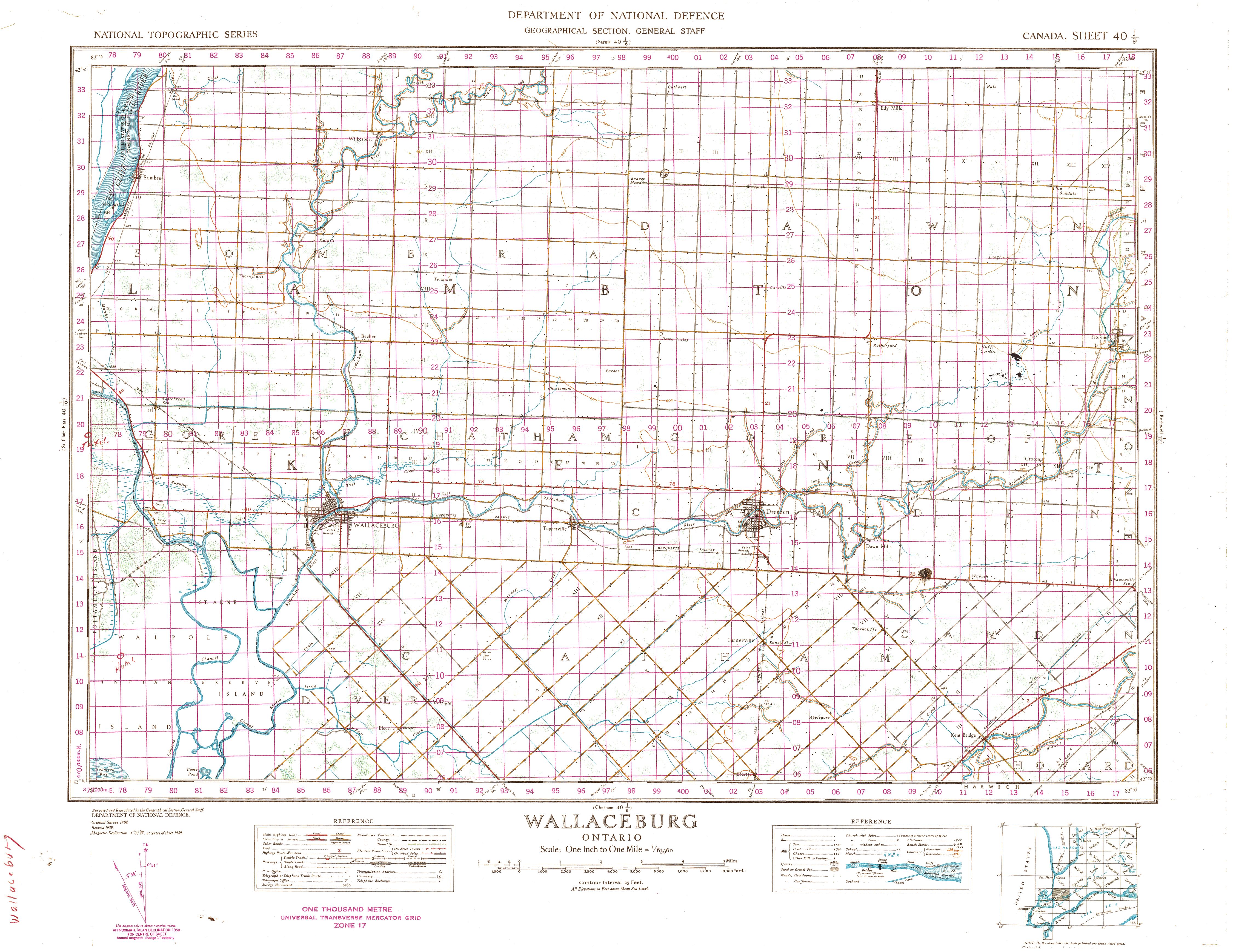
| Map Title | Wallaceburg, Ontario (Sheet 40 J/9) |
| Front/Back | Front |
| Blank | No |
| Physical Location | MAPH |
| Cartographer | Department of National Defence |
| Publisher | Department of National Defence |
| Date | 1939-01-01 |
| Copyright Holder | Government |
| Map Type | Political |
| Continent | North America |
| Country | Canada |
| State | Ontario |
| County | |
| Township | |
| Municipality | |
| Lat Ne | 42.750037 |
| Long Ne | -81.996872 |
| Lat Sw | 42.477168 |
| Long Sw | -82.498104 |
| Map Scale Text | 1 inch: 1 mile |
| Map Scale Ratio | 1:63,360 |
| Quality Score | 2 |
| Documentation Score | 1 |
| Georeference Algorithm | |
| Well Points | No |
| Notes | A map showing Wallaceburg, Ontario. |