| Filename | Brittain_MAPH_43_2018-08-02_1 |
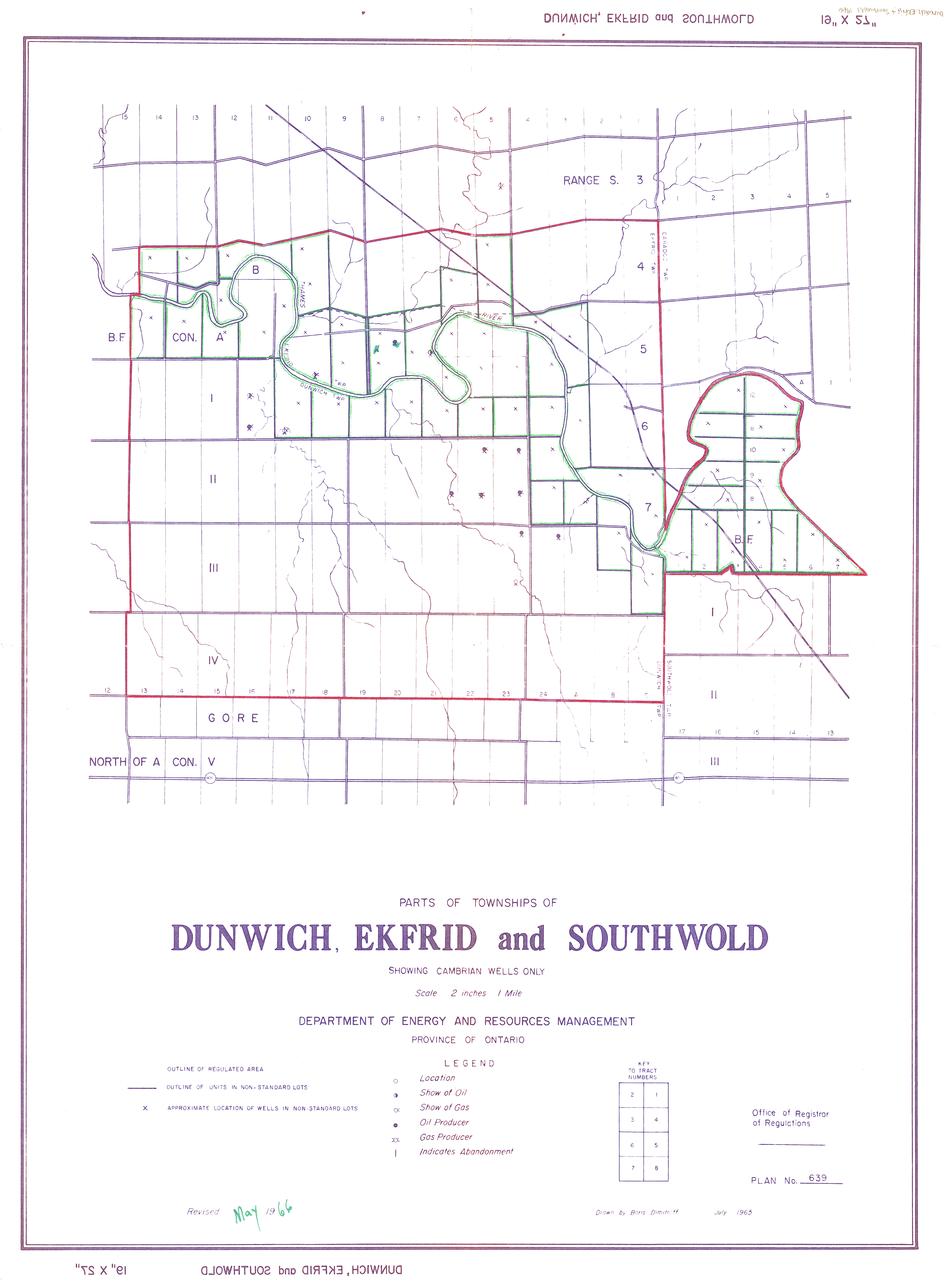
| Map Title | Townships of Dunwich, Ekfrid and Southwold showing Cambrian Wells |
| Front/Back | Front |
| Blank | No |
| Physical Location | MAPH |
| Cartographer | Boris Dimitroff |
| Publisher | Department of Energy Resources Management |
| Date | 1966-05-01 |
| Copyright Holder | Government |
| Map Type | Resource |
| Continent | North America |
| Country | Canada |
| State | Ontario |
| County | |
| Township | Dunwich |
| Municipality | |
| Lat Ne | 42.819033 |
| Long Ne | -81.507264 |
| Lat Sw | 42.669516 |
| Long Sw | -81.518624 |
| Map Scale Text | 2 inches: 1 mile |
| Map Scale Ratio | 1:31,680 |
| Quality Score | 2 |
| Documentation Score | 2 |
| Georeference Algorithm | |
| Well Points | Yes |
| Notes | A map showing Dunwich, Ekfrid, and Southwold with red and blue outlines marking wells and properties. |