| Filename | Brittain_MAPH_421_2018-08-09_1 |
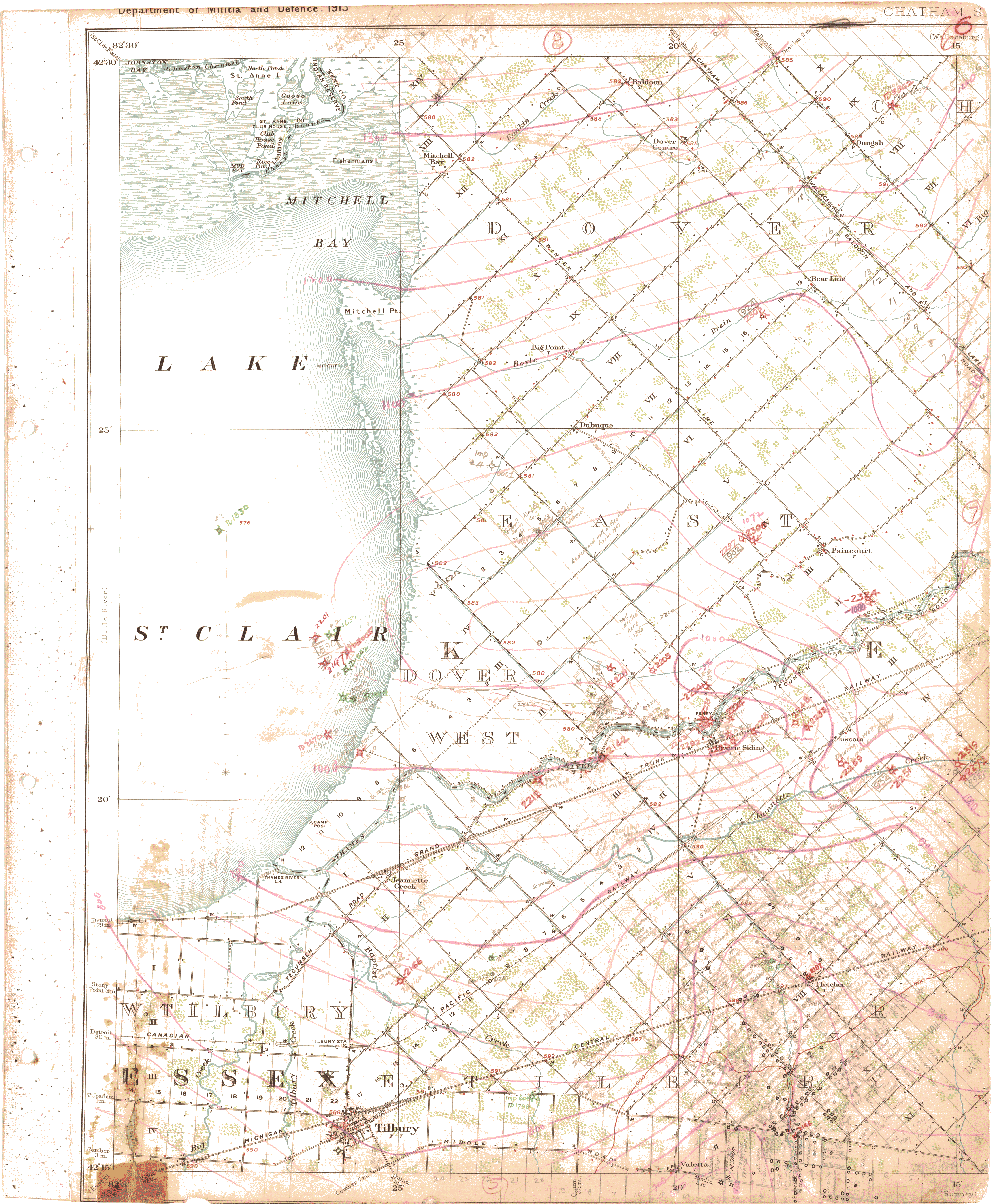
| Map Title | Essex County, Dover - Map 6 |
| Front/Back | Front |
| Blank | No |
| Physical Location | MAPH |
| Cartographer | |
| Publisher | |
| Date | |
| Copyright Holder | |
| Map Type | Resource |
| Continent | North America |
| Country | Canada |
| State | Ontario |
| County | Essex |
| Township | Dover |
| Municipality | |
| Lat Ne | 42.516993 |
| Long Ne | -82.220943 |
| Lat Sw | 42.248005 |
| Long Sw | -82.489868 |
| Map Scale Text | |
| Map Scale Ratio | |
| Quality Score | 2 |
| Documentation Score | 3 |
| Georeference Algorithm | |
| Well Points | Yes |
| Notes | A map of Essex County, Dover with well points, contours and concessions. |